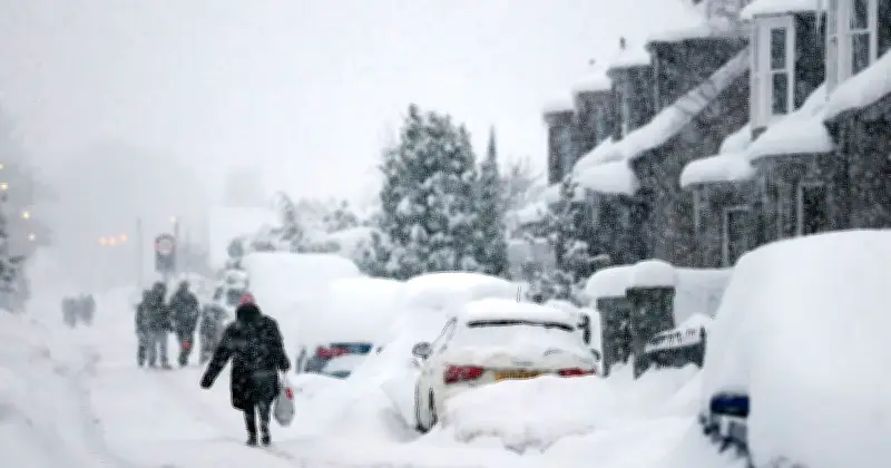
The Met Office has identified 21 areas across Scotland and England that could experience snow on Saturday, as weather maps show a band of wintry precipitation moving in from the west during the evening. The snow is expected to first reach northern Scotland before pushing southwards.
Snow expected to spread south by evening
According to the Met Office's weather maps, the initial wave of snow will arrive on Saturday evening, affecting northern Scotland first. By around 21:00, the wintry conditions are forecast to extend south as far as northern England, near the Lake District.
The affected areas in Scotland include Highland, Moray, Aberdeenshire, Angus, Perth and Kinross, Argyll and Bute, Inverclyde, Clackmannanshire, Ayrshire, Dumfries and Galloway, Glasgow, Renfrewshire, Dumbartonshire, Lanarkshire, Scottish Borders, Edinburgh, East Lothian, West Lothian and Midlothian. In England, Cumbria is also on the list.
Met Office weekend forecast
The Met Office's forecast for Saturday indicates that showers and hill snow will be a feature of the weather. The forecast states: "Largely fine and dry for England and Wales, although cloudier than previous days. Cloudier in northern Scotland with some rain and hill snow. Showers reaching southwest England later. Feeling cold."
For Sunday to Tuesday, the forecast adds: "Unsettled with spells of rain or showers Sunday and Monday. Rain in the south on Tuesday, with some hill snow possible. Brighter with showers elsewhere. Often windy and feeling cold."
The snow forecast comes amid the ongoing El Niño weather event, which meteorologists have warned could spark a Polar Vortex phenomenon. A Polar Vortex occurs when temperatures above the Arctic drop and strong westerly winds form in the stratosphere. However, the Met Office has stated that the snow forecast for this weekend is not a result of a Polar Vortex.