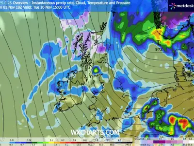
The Met Office has forecast the first snow of this winter, set to arrive amid a cold snap that will see temperatures drop considerably. Fog, for which a fresh weather warning is in place for tonight and into Tuesday, will make way later this week for snow showers.
The snowfall could arrive in parts of the UK as early as this Wednesday, with further cold conditions expected on Thursday and Friday, according to forecasters at the Met Office.
Polar Vortex Disruption Brings Bitter Blast
The cold spell follows a disruption to the polar vortex, which will lead to a bitter blast of icy air lingering over the UK for several days. This will create optimum conditions for frost and snow as temperatures are poised to plummet to freezing.
It will be a stark change from the 14.4C recorded on Sunday near Plymouth, Devon, and 13.8C seen in Whitchurch-by-Cardigan, Pembrokeshire on the same day.
Snow Showers Expected in Northern Scotland
Met Office Chief Meteorologist Jason Kelly said: "Snow showers could briefly fall on lower ground in northern Scotland and the Northern Isles, mainly Shetland, overnight on Wednesday and into Thursday. However, snow may only settle on higher ground and this is relatively normal for the time of year."
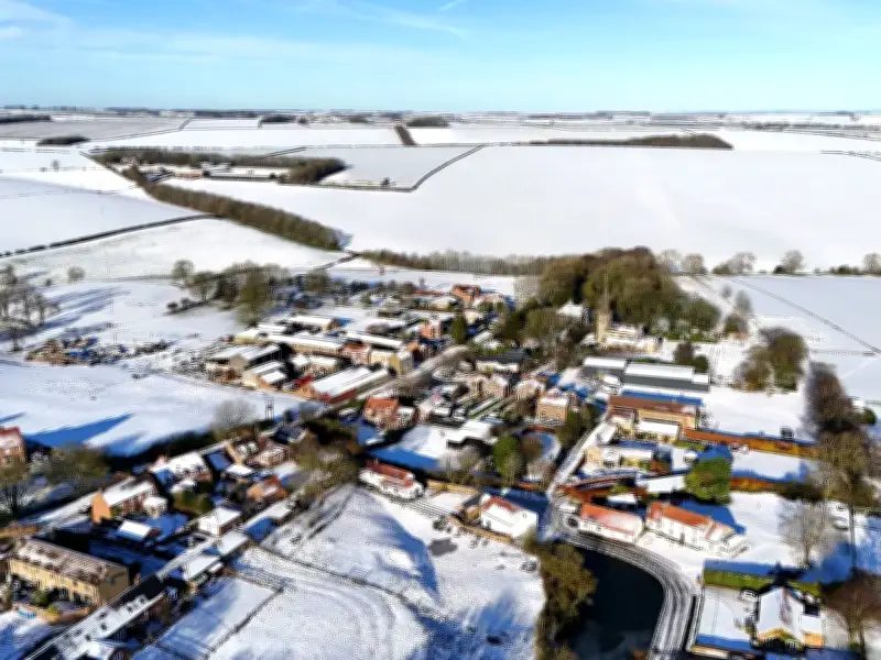
Last November's snow caused difficult conditions on the road, especially across northern Scotland. Photographs show vehicles getting into trouble at Kingussie in the Highlands of Scotland.
Met Office Forecast Details
In its latest forecast issued on Monday, the Met Office said: "During Tuesday, cloud and outbreaks of rain will spread north across much of England and Wales, with some heavier bursts possible in the southwest later. Elsewhere, many places will remain dry with sunny spells, although fog and low cloud could be slow to clear. Temperatures will generally be near or a little below average."
It added: "Tuesday night will remain cloudy across southern areas with further outbreaks of rain, heavy at times in the southwest. Elsewhere, clearer conditions will allow frost to develop across many northern areas, alongside some patches of fog. By Wednesday, colder conditions will begin to move into the north. Rain will continue across parts of southern England and Wales, while showers move south across Scotland, becoming wintry at times in the far north and northeast. Strong winds are also expected in the far northeast."
Areas at Risk of Snow This Week
- Scottish Highlands
- Eilean Siar
- Orkney
- Shetland
- Moray