
For the second year running, parts of Florida experienced snowfall on Sunday morning, as a cold front brought frigid air and transformed rain into snow across the western Panhandle. The rare event, which also affected southeastern Alabama and southern Georgia, saw flakes settling on grass and beaches, though roads remained too warm for accumulation.
This marks the second consecutive year that the Sunshine State has seen snow, following a significant snowfall on January 21, 2025, when up to 8 inches (20 centimetres) fell in some areas—the heaviest since the late 1800s. Social media users shared images of snow on palm fronds and sandy shores, celebrating the unusual winter weather.
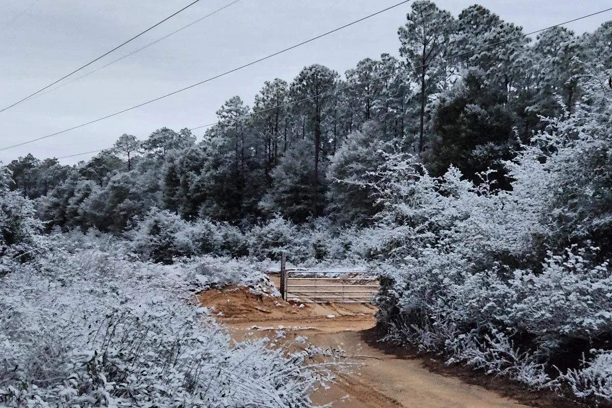
In Georgia, cities such as Columbus and Macon reported snow-covered ground, prompting officials to warn of potentially treacherous travel conditions. Meanwhile, in northeastern Ohio, the National Weather Service (NWS) issued warnings about a snow squall moving into the Cleveland metropolitan area on Saturday, with heavy snow and strong winds creating hazardous whiteout conditions.

The NWS cautioned that the squall would track eastwards into Pennsylvania and parts of eastern New York, with visibility dropping below a quarter of a mile and rapid snow accumulation on roadways. “Travel will be difficult and possibly dangerous in the heavy snow,” the NWS stated.


