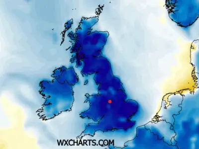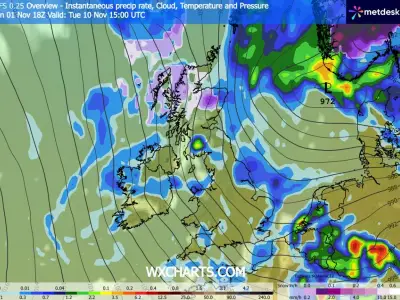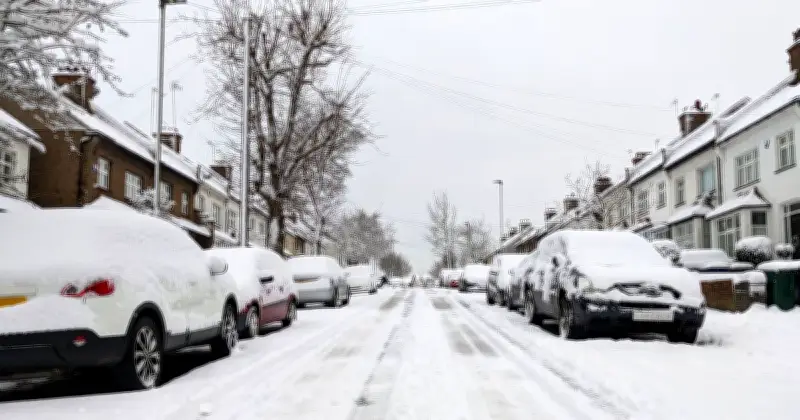
Snowfall could arrive in parts of the UK next week, with forecast maps from WXCharts showing a sheet of purple indicating snow across a section of the country. The latest data suggests a 131-mile-long snow band could hit Scotland on Sunday, November 15, stretching from Stirling up to Ullapool.
Temperatures have dropped noticeably in recent weeks after a mild period, prompting many households to turn on their heating. Following a record-breaking summer of heatwaves, the colder weather has come as a relief to some, and the potential snowfall signals a true start to winter.
Forecast Details for November 15
WXCharts maps show snowfall covering much of Scotland on November 15, while heavy rain and cold temperatures are expected across parts of England, Northern Ireland, and Wales that same weekend. Temperatures could reach as low as minus 1C in Scotland, 3C or 4C in England, and 1C in Wales.
However, snow forecasts can change suddenly, as conditions must be exact for snow to fall. Any slight change in temperature or air moisture levels could determine whether it snows or not.
Met Office Outlook
The Met Office's forecast for next week is uncertain but predicts a shift in weather patterns. It says: "High pressure begins to migrate away to the east, allowing frontal systems to progress into the UK from the southwest, although exactly how much progress into the UK this makes is uncertain."
It adds: "However, there is a greater chance that at least the southern half of the UK will see a change to milder and wetter conditions, at least for a time, while the north is more likely to remain drier."
The Met Office continues: "Toward the end of next week, we may start to see some colder conditions spread from the north. While the nature of this colder outbreak is very uncertain, it could bring some wintry showers to the northern UK briefly. Thereafter, a transition towards a westerly flow is likely, bringing changeable conditions with rain more likely focused towards the north west."
Later in November
In the days following November 15, snowy conditions appear to return but in smaller patches, according to WXCharts. Tuesday, November 17, appears to be a slower day for some areas, with spots of rain following in the days after.
During the second half of November and into December, there is "an increasing chance of changeable or more unsettled conditions developing, with spells of rain and the potential for strong winds at times", according to the Met Office. However, the extent and location of the wettest and windiest weather is very uncertain in this range, with northern and western areas generally most favoured.
The Met Office adds: "There is a chance the wettest conditions could become more focused across southern parts for a time. Towards the end of November, whilst confidence is very low in the overall weather patterns, there may be a tendency for the tracks of Atlantic lows to shift farther south. Temperatures are likely to be near or above average for much of the period, although colder interludes remain possible, perhaps more especially later in the period."