Unseasonal Snow Forecast to Sweep Across UK in Early May
Weather forecasting maps have revealed a startling prediction: snow could fall in as many as 27 cities across the United Kingdom, including London, during the first days of May. This unseasonal cold spell is expected to bring wintry conditions far southward, challenging typical spring weather patterns.
Timeline of the Predicted Snow Event
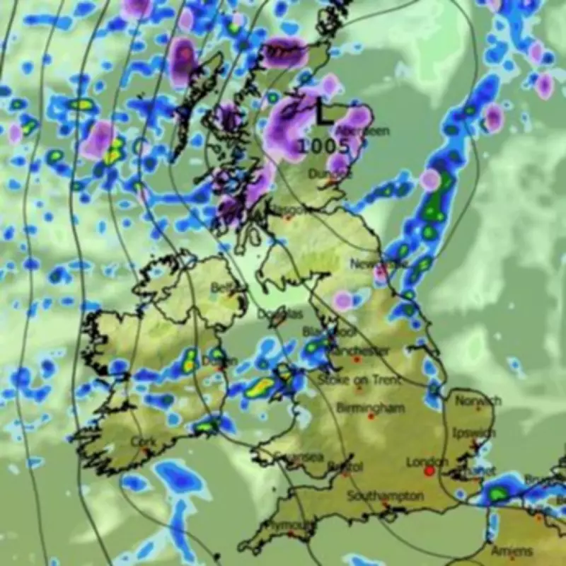
According to the ECMWF weather model, the snowfall is projected to begin around 6pm on May 1, initially impacting northern regions. Cities such as Aberdeen, Dundee, and Newcastle are likely to see the first flurries as the system develops. The snow is then forecast to drift southwards overnight, reaching more populated areas by the early hours of May 2.
By 6am on May 2, maps indicate that Northern Ireland and coastal parts of Wales could experience snow, alongside the north-west of England. Remarkably, flurries might even reach Brighton on the south coast, highlighting the extensive reach of this cold snap. Throughout the day, Yorkshire, the Midlands, and the south-west of England are all at risk of snowfall, with the east coast also expected to be affected.

Key Cities and Regions at Risk
The ECMWF model lists 27 cities that could see snow during this 30-hour period. The full list includes locations from the far north to the south of the UK:
- Inverness
- Aberdeen
- Dundee
- Glasgow
- Edinburgh
- Dunfermline
- Perth
- Stirling
- Newcastle
- Durham
- Carlisle
- Sunderland
- Chester
- Liverpool
- Hull
- Sheffield
- Norwich
- Ely
- Bristol
- London
- Winchester
- Brighton
- Bangor (Wales)
- Wrexham
- St Asaph
- Newry
- Armagh
By 6pm on May 2, light flurries could even reach London, with the heaviest snow anticipated in Gloucestershire and southern Scotland. However, the system is expected to drift eastwards away from the UK by midnight, leaving only sparse flurries in East Anglia and northern Scotland.
Met Office Outlook and Warnings
The Met Office has acknowledged the potential for wintry showers in some areas towards the end of April and start of May. In its forecast for April 23 to May 2, the agency stated that high pressure is likely to be centred north of the UK, leading to largely dry conditions with sunny periods for many places. However, it noted a chance of rain or showers in the far southwest and northeast, possibly turning wintry in parts of Scotland. Winds may be strong around coasts, particularly in the southwest and northeast, with temperatures near normal or slightly above for most, but colder conditions could affect the north at times.
This forecast underscores the variability of spring weather and serves as a reminder for residents to stay updated on local advisories. While snow in May is unusual, it is not unprecedented, and such events can disrupt travel and daily activities. The ECMWF model provides a detailed glimpse into this potential weather anomaly, but as with all long-range predictions, conditions may change as the date approaches.