
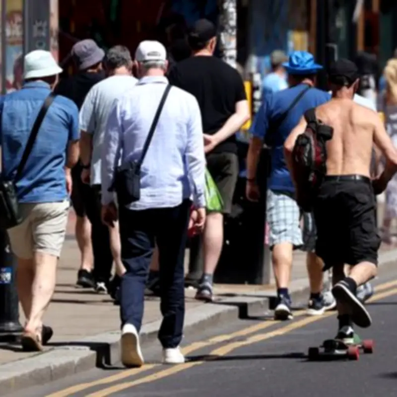
Greater Manchester is set for a 'warm but highly-volatile' weather pattern next week as the country recovers from the widespread downpours of last week. A mixture of bright sunshine, climbing temperatures, and sudden rain spells are predicted for the region.
Week Ahead Overview
Temperatures will climb at the start of the week, with expected highs of 22C on Monday and more consistent sunshine than last week. However, while we are set to move away from the widespread downpours of last week, rain showers and cloudy conditions are to be expected for much of the week.
It comes as the Met Office said high pressure building across the country will bring warm and humid conditions, with temperatures climbing above the seasonal average and reaching the high-20s or possibly 30C by Friday, June 19 across the UK.
This forecast means parts of the country could be warmer than Los Angeles by the end of next week. There were highs of 22.4C in Kent on Saturday, while London's Kew Gardens reached 21.3C.
Forecasters have said there may be some thunderstorms in parts of the country on Monday, although temperatures should remain in the low 20s before cloud and rain spreads from the west on Tuesday. However, forecasters say the heat will increase from the middle of the week as warmer air from Europe moves into the UK.
Met Office forecaster Kathryn Chalk said: “We're definitely seeing a warming trend from midweek onwards.” She added: “Relatively warm and humid nights are also on the cards- not as expected as what we had a few weeks ago, because it won't be wall-to-wall sunshine like that, we had a stronger signal for that compared to this, but nevertheless it is going to be turning warmer.”
Red Alert for Pollen
It comes as five UK areas have been hit with red 'very high' Met Office warnings over the next five days, including Greater Manchester. Pollen levels are set to build over the coming days, with one red 'very high' alert in force on Saturday, June 13, in London and south east England. On Sunday, June 14, there are three red alerts in London and south east England, Wales, south west England. On Monday, June 15, north west England and West Midlands are also included in the highest alert.
Day-by-Day Forecast
Monday, June 15: Pack your sunglasses for the commute. Monday is shaping up to be the brightest day of the week, with plenty of clear, blue skies and a high of 22C.
Tuesday, June 16: The fine weather hits a brief speed bump. A low-pressure system moves in by Tuesday morning, bringing a 90% chance of rain and heavier downpours across the region. Highs will dip slightly to 21C.
Wednesday, June 17 & Thursday, June 18: The region stays trapped in a cloudy, humid holding pattern. Expect lingering overcast skies and intermittent morning showers, with daytime highs holding steady between 21C and 23C.
Friday, June 19: Ending the working week on a high note. Temperatures are expected to peak at a very warm 24C. While it will be mostly cloudy and humid, the afternoon could see localised, isolated thunderstorms breaking out due to the heat build-up.
Saturday, June 20: Temperatures are expected to reach highs of 22C and lows of 13C as the region heads into the weekend. Conditions will stay cloudy and humid, with chances of rain throughout the day reaching 30%.
Long-Range Outlook
While the upcoming week won't be a wall-to-wall heatwave like we had a few weeks ago, the overall trend for mid-June is distinctly warming up. Met Office Meteorologist Annie Shuttleworth warned UV levels and pollen will be high as temperatures climb. “So, this isn't defined as a heat wave, but temperatures will be above average for this point in June for a vast majority of the UK,” she said.
The national weather service's long-range forecast, spanning June 16 to June 25 states: “A changeable period is likely through the middle of next week with outbreaks of rain focused across the north and northwest, some of which could spread to parts of the south and southeast at times. Some strong winds could accompany this, although with temperatures generally above normal. Into the following weekend, high pressure will probably become more dominant with conditions turning more widely dry and settled, and probably very warm for many, especially in the south.”




