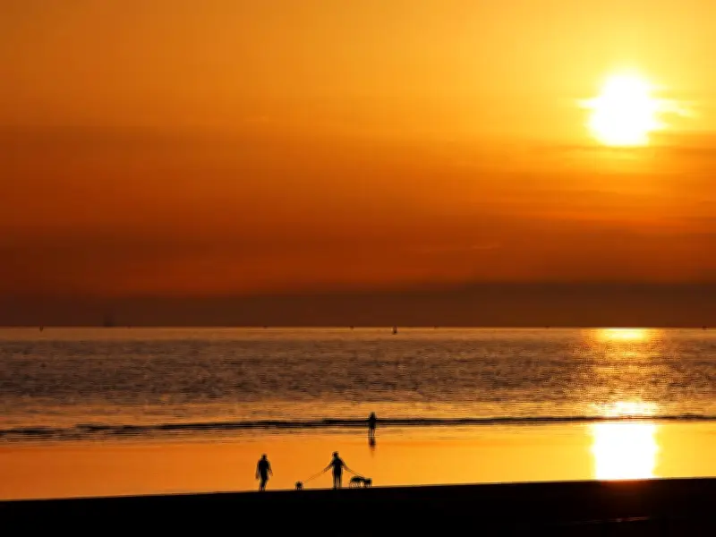
The Met Office has confirmed that the UK heatwave will persist for a little longer than initially forecast, with large parts of the country still under an amber weather warning for extreme heat on Friday. Temperatures are expected to exceed 30°C in many areas, with a largely sunny day ahead.
Amber Warning and Temperature Records
Many areas of England and Wales have experienced a scorching heatwave this week, with weather warnings in place since Monday. Although the peak of the hot weather has passed, Friday remains warm. A new maximum temperature record for June was set for the second consecutive day on Thursday, with Somerset reaching 36.7°C.
Met Office Chief Meteorologist Andy Page said: "This exceptional spell of hot and humid weather will maintain its grip on the UK for a little longer. Although the current red warning for areas in more central and western parts of England and Wales will expire later today, the heatwave will still be bringing high temperatures to these areas, albeit moving away from the peak heat of Wednesday and Thursday."

Expected Temperatures and Cooling Trend
Mr Page added: "We are expecting that some daytime maximum temperatures could exceed 36°C, perhaps rising to 37°C in some locations." Overnight, temperatures are unlikely to fall much lower than the high teens Celsius, and some places will not fall below the low 20s Celsius. High humidity will accompany the high temperatures.
The Met Office stated: "Cooler conditions will slowly begin to become established from the west following this period, although very warm conditions are likely to remain across east and southeastern England through Saturday, albeit not as hot as earlier in the week."
Regional Impact and Weekend Outlook
An amber weather warning remains in place in Merseyside and other areas of northwest England on Friday. A red warning is in force in parts of the southeast until 9pm Friday. The heatwave has affected daily routines, including school closures and cancelled trains.
For the northwest this weekend, the Met Office outlook says: "A cloudy start for many but will lift and break through the day. Staying hot and dry but temperatures slightly down on recent days. Maximum temperature 25°C. Sunday brings rain, clearing west to much fresher and cooler conditions. Monday and Tuesday are then mostly dry with sunny spells. Temperatures a little above average."