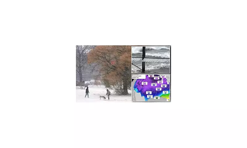
The United States is on high alert as forecasters predict a widespread and severe cold snap, bringing with it the first major snowstorms of the season to vast portions of the country.
A Nation Blanketed in White
The winter weather has already made its presence felt, with towns across the northern Midwest seeing significant snowfall this past weekend. The wintry conditions are now set to expand, moving into the central Plains, Ohio Valley, mid-Atlantic, and New England regions from early next week.
The dangerous conditions were starkly illustrated by a 45-car pileup on Interstate 70 near Terre Haute, Indiana, directly attributed to the snow. Reports confirm that several vehicles slid across the eastbound lanes into the median and grass, with some even veering towards oncoming westbound traffic.
Authorities are warning that the incoming storms will severely impact both ground and air travel. The adverse conditions are also expected to force the temporary closure of schools in several areas.
The Science Behind the Big Freeze
Climatologist Judah Cohen, a research scientist at MIT, suggests this is just the beginning of a harsh winter period. He told USA Today, 'My thinking is that the cold the first week of December is the appetizer and the main course will be in mid-December.'
Cohen's computer model is forecasting that the most expansive region of extreme cold on Earth will stretch from the Canadian Plains to the US East Coast in the third week of December.
Adding to this, meteorologist Ryan Maue explained in a Substack post that a 'polar vortex' – a large, low-pressure system of frigid air – is poised to remain over Canada for the next seven to ten days, acting as a source for the cold air impacting the US.
Detailed Forecast and Expected Impacts
According to AccuWeather, a significant storm is expected to form from Monday to Tuesday night along the boundary where expanding cold air meets warmer air. This system will bring a mix of snow and sleet to a wide area, including:
- Kansas, Missouri, Illinois, Indiana, and Ohio
- Parts of West Virginia, Virginia, and Pennsylvania
Areas further south, including parts of Oklahoma, Arkansas, Kentucky, Tennessee, and North Carolina, are likely to face the additional hazard of ice buildup on top of any snowfall.
The southern states, extending as far east as coastal Virginia, as far south as northern Florida, and as far inland as eastern Texas, should prepare for significant rainfall from the system.
By Tuesday night, New York and New England will begin receiving snow, with most areas expecting accumulations of one to six inches. However, the Catskills of New York, the Berkshires of Connecticut and Massachusetts, and southeastern Maine could see up to a foot of snow.
In major metropolitan areas like New York City and Philadelphia, the snow is predicted to turn to rain on Tuesday, creating potentially treacherous, slippery road conditions. Forecasters also note that if a second storm pulls cold air down from the Hudson Valley, New York could experience even heavier snowfall than currently anticipated.
This bout of severe winter weather could result in the lowest temperatures recorded in the US since last February, marking a dramatic start to the meteorological winter.


