
A polar vortex is expected to deliver the coldest weather in 20 years to the United States on Friday, with cities from the Midwest to the East Coast bracing for possible record low temperatures. The National Weather Service has issued warnings for perilous conditions, including winter storms in Kentucky and Tennessee.
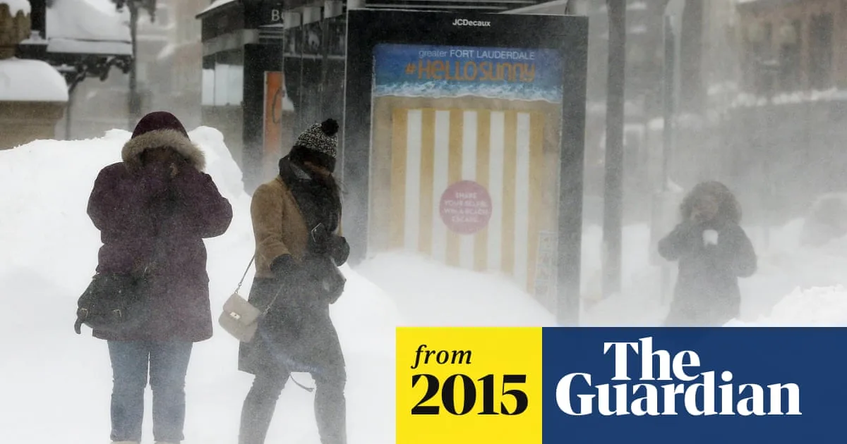
On Thursday, temperatures plummeted as arctic air surged into states east of the Mississippi, from Boston to Atlanta and New Orleans. Wind chills in Chicago dropped well below 0F (-18C). Meteorologist Mike Musher described the situation as 'brutal,' warning of a 'tremendous plunge of arctic air' affecting the eastern two-thirds of the country.
In New York, temperatures could threaten a February cold record from 1979, when the average temperature in Central Park was 25.5F (-3.6C). The city has already seen more snow than usual, though the coldest February on record of 17.7F (-7.9C) in 1934 remains out of reach.

The freezing air originates from the polar vortex, a persistent weather system over northern Canada and the Arctic Ocean. Climatologist Dave Robinson explained that a shift in the vortex, combined with a dip in the jet stream, has allowed arctic air to surge southward. 'This extreme cold is something we haven't seen in 20 years, not since 1994 or 1996,' he said.
Robinson noted that the dip in the eastern jet stream has caused milder, drier conditions in the western US, verging on drought. He added that the persistent pattern over the past 15-16 months suggests a climate anomaly rather than week-to-week weather variation.


