
The Met Office has issued fresh yellow warnings for snow and ice across much of Scotland and northern England on Sunday, as the UK continues to recover from Storm Goretti. The warning, covering large parts of Scotland, the East and West Midlands, north-east and north-west England and Yorkshire, will come into force at 2am and run until 3pm.
A separate yellow warning for ice will cover large parts of England and Wales from midday Friday to midday Saturday, as partially thawed snow refreezes amid wintry showers and freezing fog. In Northern Ireland, a snow and ice warning is in place from 5pm Friday to 11am Saturday.
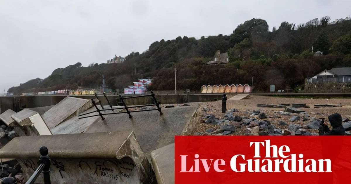
Storm Goretti has caused widespread disruption, with rail services suspended, flights cancelled, and schools closed. In Cornwall, RNLI volunteers battled hurricane-strength winds to rescue people from boats, describing conditions as the worst they had ever seen. The National Grid reported restoring power to 169,380 properties across the south-west, Midlands, and south Wales by Friday noon.

Liberal Democrat MP Gideon Amos has urged the government to convene the emergency Cobra committee to coordinate the response, stating that the south-west is routinely overlooked but cannot be ignored in this time of need. Meanwhile, Scotland's first minister John Swinney said efforts are now focused on recovery after several days of intense snowfall and sub-zero temperatures.
Disruption has also affected the criminal justice system, with no remand prisoners transported to Birmingham Crown Court due to road conditions. In Manchester, two rough sleepers died during recent cold weather, highlighting the dangers faced by homeless individuals. Many local authorities have activated the Severe Weather Emergency Protocol to provide emergency accommodation to those at risk.


