
The Met Office has indicated that colder conditions could sweep back across the UK towards the end of January, following the disruption caused by Storm Goretti earlier in the month.
From Storm Goretti to Milder Interlude
Earlier in January, the UK was hit by Storm Goretti, which meteorologists classed as a 'multi-hazard event'. It brought severe winds, with gusts approaching 100mph, and triggered a rare red warning for dangerous winds in south-west England.
For the immediate future, however, a shift is expected. The forecast suggests that milder air from the Atlantic will move in next week. This will lead to generally cloudy and changeable conditions across the country, with showers and temperatures around the seasonal average.

The Potential for a Cold Shift
The main point of interest in the long-range outlook is a growing, though still uncertain, chance of a significant pattern change. The Met Office highlights an increased risk of a transition to colder weather as January draws to a close.
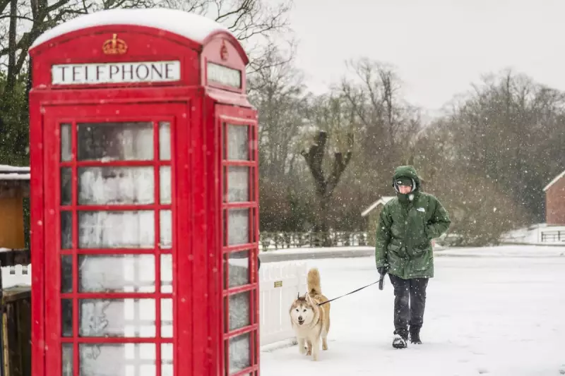
This shift in the atmospheric setup could bring the potential for snow to parts of the country. The exact regions that might be affected and the likelihood of significant accumulations remain unclear at this stage, but forecasters are monitoring the signals closely.
Current Conditions and Outlook
For this week, no weather warnings are currently in place. Temperatures are predicted to range between 4C and 11C, which is fairly typical for mid-January. Rainfall is expected, with western areas likely to see the heaviest and most frequent showers.
Residents are advised to stay updated with the latest Met Office forecasts as the situation for the latter part of the month becomes clearer. The period after next week could see a sharp drop in temperatures, marking a return to more wintry conditions.


