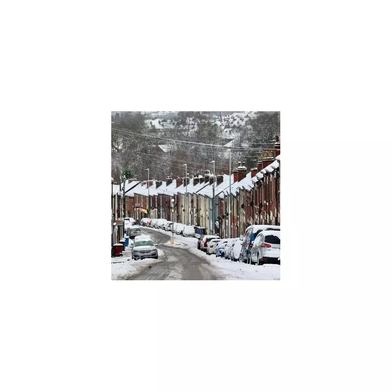
Britain is braced for a dramatic temperature plunge of up to 10C, with new weather maps revealing the precise timing of expected snowfall as a fierce Arctic wind grips the nation.
From Mild to Freezing: The Arctic Takeover
While Friday saw unusually mild and wet conditions, courtesy of Storm Claudia, with temperatures peaking at 16.5C in Wiggonholt, West Sussex, a stark change is imminent. A powerful northerly airflow is set to drag bitterly cold air across the UK, reversing the brief spell of balmy weather.
The Met Office had previously indicated snow would follow the storm, and now detailed analysis from Metdesk shows the cold snap will be more extensive than first thought. Initially, Scotland was expected to bear the brunt, but new data suggests snow will reach parts of England.
When and Where the Snow Will Strike
According to forecasters, the most significant wintry conditions are expected to develop on Tuesday afternoon and continue into the evening. Metdesk maps project snow, indicated by white dots, pushing as far south as Staffordshire in the early hours of Wednesday.
Communities in rural Shropshire may wake to a light dusting, but the heaviest accumulations are anticipated in the Cairngorms and higher ground in Ayrshire on Tuesday night. Temperatures in these regions are forecast to hover between freezing and 3C.
The contrast with the previous week will be severe. Wiggonholt, the warmest spot on Friday, will shiver in temperatures of around 6C—a drop of more than 10 degrees. Bournemouth will see the mercury fall to just 7C, a significant shift from its recent highs.
Nationwide Chill and Frosty Mornings Ahead
The Met Office confirms that colder air will begin its southward march across the UK this weekend. While conditions will be drier and brighter following Friday's downpours, a noticeable chill will set in, bringing widespread overnight frosts to many areas.
In its outlook, the forecaster stated: "Brighter but colder conditions are likely to extend southwards through Sunday and into early next week. Sleet and snow showers are possible, mainly focused towards north-facing coasts and hills."
The long-range forecast for the latter part of next week warns of the season's first frosts for many in the south and continued wintry conditions, signalling a definitive end to the autumn mild spell.


