
UK Snow Maps Reveal 18-Hour Blizzard to Hit Nine Regions on March 4
Fresh weather maps have unveiled a significant snow event set to blanket large parts of the United Kingdom this March, with an 18-hour blizzard predicted to sweep across nine specific regions. The snowfall is scheduled to commence precisely at midnight on Wednesday, March 4, and persist until 6pm, marking a prolonged period of wintry conditions.
Detailed Regional Snowfall Predictions
According to charts from forecaster WXCHARTS, the initial phase of the snow event will see southern England and the Midlands remaining largely dry at midnight. However, snow will begin to fall in several key areas including Nottingham, Stoke-on-Trent, Manchester, Blackpool, and Hull. Additionally, a small area of snow is expected to appear in Cairngorms National Park.
By 6am, the charts transform into icy blue hues as bitter temperatures sweep across the country. Limited areas will register temperatures above -1°C, with the coldest spot anticipated in Cairngorms National Park at a chilling -5°C. At 6pm, snow will extend across Scotland, with up to 10cm of snow accumulating on the ground in this region.

Geographical Distribution of Snowfall
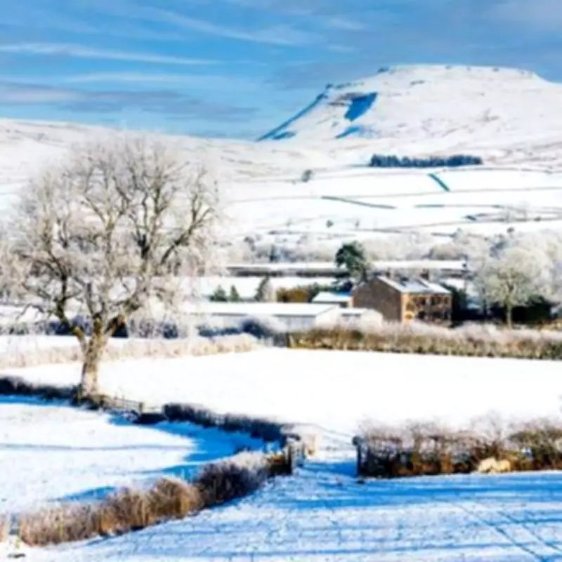
Northern Ireland is forecast to remain free from snow during this event, while a small section of North Wales will experience some snowfall. In England, the snow will be confined primarily to the northern regions, with Hull and Yorkshire set to receive the heaviest snowfall. This pattern indicates a concentrated impact on specific areas rather than a nationwide blanket.
The Met Office has provided additional context with their forecast, stating: "Quite changeable as Atlantic frontal systems track near or across the UK at times, bringing spells of rain or showers, typically heaviest and most frequent over western areas, but interspersed with drier interludes. Some spells of strong winds will be possible at times too, again more especially in western parts."
Broader Weather Patterns and Implications
The Met Office further notes: "With a flow generally from the North Atlantic, temperatures will likely be near or above average for much of this period, though a trend towards something a little cooler is possible for a time around the change of the month. Later in the period there may be a trend towards slightly drier conditions in the southeast, whilst it remains wet times in the northwest, but confidence in this aspect is rather low."
This snow event follows a pattern observed in the first two months of 2026, where vast areas of the country have already experienced significant snowfall. The upcoming blizzard adds to the anticipation of additional falls, potentially disrupting travel and daily activities in the affected regions.
Residents in the impacted areas are advised to prepare for challenging conditions, including potential transportation delays and the need for appropriate winter clothing. The detailed maps serve as a crucial tool for forecasting and planning, highlighting the importance of staying informed about weather developments.


