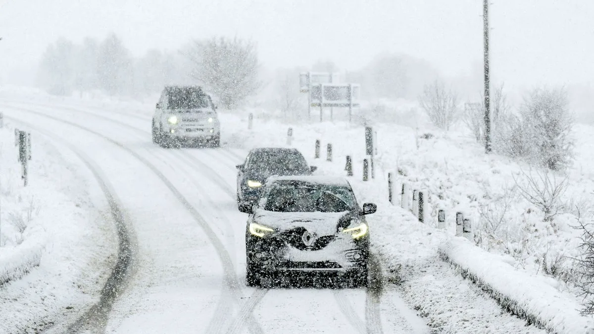
Arctic Blast to Hit UK on December 12: Snow Forecast for England, Scotland, Wales
UK Snow Forecast: Arctic Blast Hits December 12

The United Kingdom is bracing for a significant wintry onslaught later this month, with forecast maps indicating a potent Arctic blast will deliver widespread snow and icy temperatures just ahead of the Christmas period.

Snow Maps Pinpoint December 12 for Widespread Flurries

Following a notably wet start to December, which included a Met Office amber 'danger to life' warning for rain, the weather is set to take a dramatic turn. According to detailed projections from WX Charts, a sharp plunge in temperatures is expected, culminating in snow flurries across large swathes of the country by midday on Friday, December 12.

The meteorological shift is driven by low-pressure systems moving in from the Atlantic, which will collide with a mass of frigid air descending from the Arctic. This clash is the perfect recipe for disruptive snowfall as the nation moves into the middle of the month.

Regional Snowfall and Sub-Zero Temperatures Expected

The snow is forecast to be most intense across northern England, with several inches potentially accumulating around the Manchester and Leeds areas. Significant flurries are also anticipated for north Wales and western Scotland.

Temperatures are predicted to drop decisively, with the mercury falling below freezing across many parts of the UK by December 12. The preceding week will see unsettled conditions persist, with a mix of rain and snow sweeping in and temperatures struggling to reach beyond single figures.

Met Office Outlook: Unsettled Now, Possibly Drier Later

The national forecaster's outlook for the period December 8 to 17 confirms a spell of volatile weather. The Met Office predicts "further showers or longer spells of rain and some strong winds affecting all parts," with additional bands of rain accompanied by "potentially very strong winds."

While they note temperatures will generally be near average, it will feel cool in the wind and rain. Their forecast suggests little frost, fog, or snow is expected in this initial unsettled phase, contrasting with the specific snow event shown on independent models for December 12.

Looking further ahead to the festive period from December 18 to January 1, the Met Office indicates a potential shift. There is a "greater chance of spells of high pressure," which could bring more dry weather compared to early December. This would increase the likelihood of overnight frost and fog. However, the period remains changeable overall, with hill snow still possible, mainly in the north.

Britons are now advised to stay updated with the latest forecasts as the details of this impending Arctic blast become clearer, ensuring they are prepared for potential travel disruption and much colder conditions.