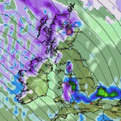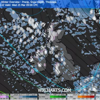
The UK is set for a severe bout of winter weather today, with forecasters warning of damaging winds reaching up to 85mph and snow flurries for some northern areas. The disruptive conditions are being driven by a chain reaction of weather events originating thousands of miles away in North America.
Storm Force Winds and Snow Flurries Expected
A powerful jet stream, activated by a major polar vortex dislocation over the north-eastern United States, is funnelling a storm towards British shores. Senior meteorologist Jim Dale of British Weather Services confirmed to The Mirror that parts of Scotland will bear the brunt later tonight, with gusts potentially hitting 85mph.
While the heaviest snow is expected to be confined to the higher ground of the southern Highlands and Grampians, the strong winds will have a much wider reach. The south will not escape unscathed, with areas like Brighton forecast to experience gusts exceeding 50mph around 9pm on Friday.
"It will be windy on Friday night, with snow confined to the higher parts of the southern Highlands and Grampians," Mr Dale stated. "The winds will tend to ease as the mountain snow arrives, but not a night to be out on the Cairngorms."
Met Office Issues Freezing Fog Warning
Alongside the wind and snow threat, the Met Office has a separate yellow weather warning for freezing fog in place for parts of south-east England. This warning, which was active until 9am on Friday morning, covered the counties of Kent, Surrey, West Sussex, and East Sussex.
The national weather service warned that the freezing fog could lead to significant travel delays. Commuters were advised to expect slower journey times with possible delays to bus and train services. There was also a chance of delays or cancellations to flights from affected airports.
Transatlantic Link to US Cold Snap
The root cause of the UK's impending weather misery lies across the Atlantic. A significant disruption of the polar vortex—a vast area of cold, rotating air that normally encircles the pole—has plunged parts of the US and Canada into a deep freeze.
This dislocation has energised the jet stream, which is now steering volatile conditions towards the UK. "The storm is caused by the jet stream being very active, due to a Polar Vortex dislocation over North-East US with freezing conditions and snow," explained Jim Dale. While Britain will not experience the extreme sub-zero temperatures seen in America, the effects will still translate into a notably cold and stormy period.
As the country deals with the aftermath of the fog and prepares for a windy and wet night, the forecast serves as a sharp reminder that winter has well and truly arrived, with its forces amplified by weather patterns originating from distant continents.


