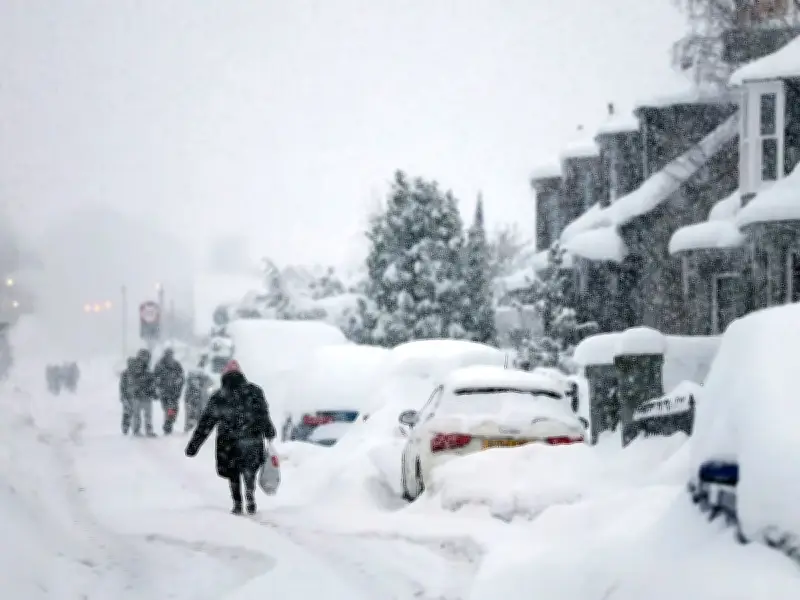
Weather forecasting models suggest daytime temperatures could plummet to -2C in certain parts of the UK, with millions of Brits potentially facing icy conditions as November approaches.
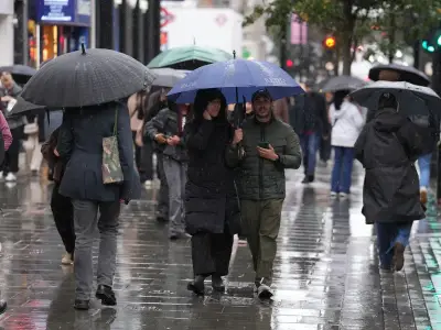
The Met Office has warned that "more unsettled or changeable conditions" are expected, with foggy spells keeping temperatures low.
Temperature predictions for November 12 and 13
Temperature anomaly maps for November 12 and November 13 display the UK covered in deep blue shading, signalling that temperatures will stay significantly below the seasonal norm. The GFS model indicates minimum possible temperatures hitting -2C in northern Scotland at midday on November 12, with -1C in northern England, 3C in the Midlands and only 5C in the south-east.
By 6pm, the data reveals temperatures staying largely unchanged across England and Scotland. South Wales, the south-west of England and Northern Ireland are forecast to be the mildest areas, though the mercury will battle to climb into double figures.
Chillier conditions expected the following day
The day after appears set to be even chillier, with minimum possible temperatures falling below 0C across Scotland, northern and central England, and most of Wales at midday.
By 6pm, the GFS model indicates temperatures will have recovered slightly in England and Wales, though much of Scotland could still hover at 0C or below. Once more, the south-west of England and Northern Ireland are predicted to be the warmest regions.
Counties facing sub-zero temperatures
In total, GFS model maps indicate that 56 counties could experience daytime temperatures of 0C or below across these two days, spanning Scotland, Wales and England.
Affected counties include Northumberland, Durham, Cumbria, Lancashire, Yorkshire, Cheshire, Derbyshire, Nottinghamshire, Leicestershire, Warwickshire, Staffordshire, Shropshire, Herefordshire, Worcestershire, Gloucestershire, Northamptonshire, Oxfordshire, Wiltshire, Somerset and Berkshire in England; Sutherland, Ross-shire and Cromartyshire, Inverness-shire, Nairnshire, Morayshire, Banffshire, Aberdeenshire, Kincardineshire, Angus, Perthshire, Ayrshire, Buteshire, Dunbarton, Stirlingshire, Clackmannanshire, Kinross-shire, Fife, Renfrewshire, Wigtownshire, Lanarkshire, West Lothian, Midlothian, East Lothian, Berwickshire, Peeblesshire, Selkirkshire, Roxburghshire, Dumfriesshire and Kirkcudbridge in Scotland; and Monmouthshire, Brecknockshire, Radnorshire, Montgomeryshire, Denbighshire, Merioneth and Carmarthenshire in Wales.
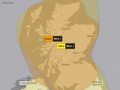
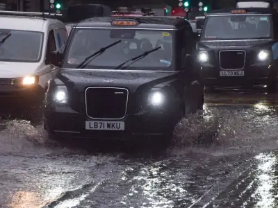
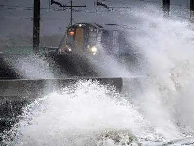
BBC Weather has warned that wet and windy conditions could sweep in around mid-November. Its forecast for November 9 to 22 states: "Signs are that high pressure could loosen its hold and recede from the UK, allowing Atlantic low pressure systems to approach the country."
This change in pattern would mean a wetter and windier trend for the UK, with most areas probably seeing precipitation amounts close to or even above average as weather systems bring occasional spells of wet and windy weather. Northern and western regions may see more rain than the south and east, thanks to the possible proximity of high pressure over mainland Europe.