
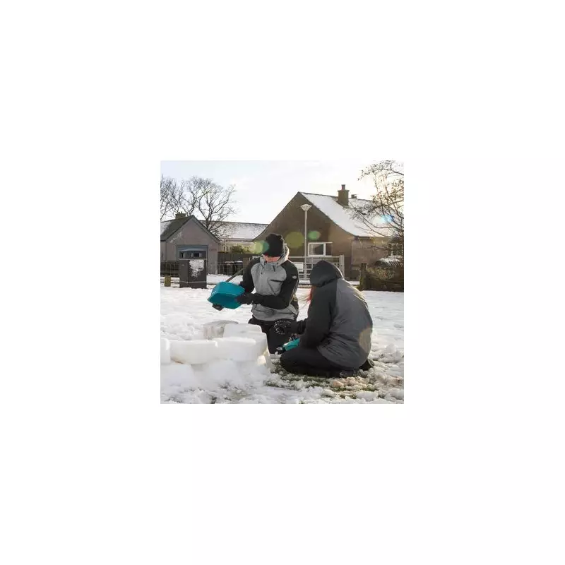
The Met Office has issued its long-range weather outlook covering the crucial festive period, and it suggests a heightened chance of wintry conditions arriving in time for Christmas. Forecasters indicate that after a brief milder spell, temperatures are set to plummet once more, bringing the potential for snow, frost, and fog during the school holidays.
Chilly Festive Forecast Details
According to the latest update, the period from December 20 to January 2 is likely to be changeable across the UK. The Met Office warns of further spells of rain or showers and some strong winds at times, particularly in western and northwestern regions. Crucially, the forecast highlights that hill snow is a possibility, mainly in the north, and that colder spells are expected within this timeframe.
The chill is already on its way. While parts of southern England, like Gosport in Hampshire, saw temperatures around 11C recently, a sharp change is imminent. By Monday, a strong southwesterly wind will make it feel like freezing for most, with coastal gusts potentially hitting 60mph in north Wales and Devon. In the coming days, it could feel as cold as -6C in Aberdeenshire and -2C in the Welsh Valleys.

White Christmas Odds Shorten
Although it remains too early for a specific prediction for Christmas Day itself, the newly published forecast has immediately influenced the betting markets. Bookmaker William Hill has adjusted its odds, reflecting the increased likelihood of snowfall on December 25th.
At the time of writing, the firm offers evens for snow in Aberdeen and 5/4 for a white Christmas in Edinburgh. In England, Newcastle is the frontrunner at 6/4, followed by Leeds at 5/2. London remains an outside chance, with odds of 6/1.
"The UK public seem to dream for a White Christmas every year and in 2025 we give Aberdeen the best chance of seeing snow at Evens," said William Hill spokesperson Lee Phelps.
What Counts as a White Christmas?
The Met Office has a strict official definition for record-keeping purposes. For a day to be declared a "White Christmas," a single snowflake must be observed falling within the 24 hours of 25 December at either an official Met Office observation site or an automated weather station. This requirement ensures consistency and verification for the climate records.
Supporting the Met Office's outlook, other meteorological groups like Metdesk show weather maps indicating a general cooling trend as December progresses. This aligns with the prediction that the current cold snap will continue intermittently right through the Christmas period, bringing disruptive conditions during one of the peak travel times of the year.


