
Britain is set to be hit by another 'wall of snow', with forecast maps showing a 400-mile stretch of the country expected to see snowfall. The wintry spell is forecast to begin on February 11, reaching its peak early the following day, according to early WXCharts weather models.
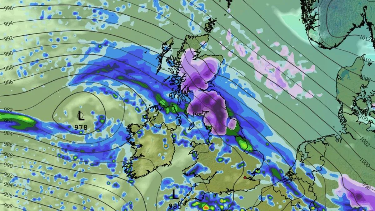
Snow is forecast in multiple parts of the UK today before clearing over the next 24 hours as temperatures rise towards the weekend. However, this respite will not last long, as a dark purple area on weather maps indicates snow extending from Lancaster up to Ullapool in Scotland. Lincolnshire and East Anglia will meanwhile see rain, which will be torrential at times.
James Madden from Exacta Weather said in a forecast: 'From on and around 12–15 February or possibly several days earlier, we will see the cold and enhanced cold and snow prospects returning and heightening across large parts of the north, and also for the 'south' of the country this time around - due to major atmospheric disturbances and the induced blocking patterns and cold winds that are likely to arise across our shores from these developments.'

The Met Office's long-range forecast for Monday 9 February to Wednesday 18 February reads: 'Cyclonic patterns are expected to dominate across the UK during mid-February. Frontal systems over the Atlantic are likely to approach the UK at times, tending to become slow moving as they encounter a blocking area of high pressure to the northeast. This will result in showers or longer spells of rain spreading across the UK, these heavy at times. As these bands of rain spread northwards, snow is possible across northern England and Scotland, mainly over high ground.'
Today, rain is expected to progress north throughout the day, with some snow over north Wales, parts of northern England and higher ground in Scotland. Maximum temperatures of 8C are forecast in London and Cardiff, 6C in Belfast, and 5C in Manchester and Edinburgh. Wintry hazards will continue for the northern half of the UK, with outbreaks of rain in the south.


