
Meteorologists are warning that the severe winter weather currently gripping the United States is just the start of a prolonged and bone-chilling cold snap. A significant breakdown of the polar vortex is set to unleash waves of Arctic air across the country over the next three weeks.
First Major Winter Storm Hits Northeast
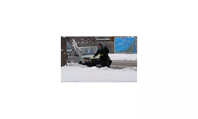
The initial wave of this Arctic outbreak is already causing major disruption. The first significant polar vortex episode of the season is bringing heavy snow to the Northeast. A Nor'easter on Tuesday is forecast to dump three to five inches of snow at lower elevations, with higher terrain in the Adirondacks, Green Mountains, and White Mountains expecting five to eight inches.
States from Montana to Maine are experiencing temperatures 10 to 15 degrees Fahrenheit below the historical average for early December. The National Weather Service has issued widespread winter storm warnings and advisories from Maine to central Kentucky.

In New Jersey, Governor Phil Murphy has declared a state of emergency, anticipating snow, sleet, freezing rain, and power outages in at least five northern counties. Travel chaos is unfolding, with the Federal Aviation Administration implementing ground delays at major airports in New York and Washington due to the poor conditions.
Polar Vortex Breakdown Drives Record Cold
This frigid pattern is the result of a weakened polar vortex—the vast pool of cold air that normally circulates above the North Pole. Strong storms have disrupted this system, allowing the icy air to spill southwards over North America.
This cold Arctic air is colliding with warmer, moist air from the Gulf Coast, creating a mix of rain and snow in the South and heavy snowfall north of Missouri. The core of the coldest air is projected to push as far south as Oklahoma, Arkansas, Missouri, and Tennessee by Wednesday and Thursday.
Forecasters at AccuWeather warn that parts of at least 20 states could see temperatures up to 20 degrees below average. On Thursday, the Midwest faces particularly brutal conditions, with thermometers in Iowa, Minnesota, Illinois, and Wisconsin potentially plunging well below zero, hitting -10°F in some areas, threatening decades-old records.
Prolonged Freeze Expected Through December
This week's severe weather is merely the beginning. Climatologists predict not one, but three distinct polar vortex episodes before winter officially begins on 21 December. Judah Cohen, a research scientist at MIT, described the current cold as "the appetizer," with the "main course" of extreme cold expected in mid-December.
His models indicate the most expansive region of extreme cold on Earth in the third week of December will stretch from the Canadian Plains to the US East Coast. This pattern is expected to become "stuck," with cold air pooling over the eastern US due to the combined influence of the unstable polar vortex and the La Niña climate pattern.
Consequently, the Northeast and Midwest should brace for frequent light-to-moderate snowstorms through late December, with highs only in the 20s (°F) and lows in the teens or single digits. Lake-effect snow near the Great Lakes could accumulate several feet.
The unusual chill will also grip the South and Great Plains, where highs may struggle to reach the 40s, well below seasonal norms. This poses a serious risk of morning frost and freezes that could damage crops and pipes as far south as Texas and the Carolinas.


