
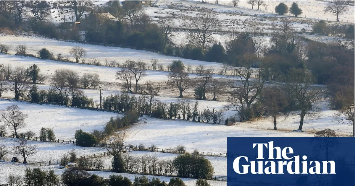
The Met Office has clarified the official definition of a white Christmas, stating that only a single snowflake falling anywhere in the UK qualifies. While many hope for a festive blanket of snow, the south coast of England, particularly South Devon and Cornwall, has the greatest chance of seeing 'the odd wintry flurry' this year, according to Met Office meteorologist Marco Petagna.
High pressure is building across the UK, bringing drier and more settled weather to many areas, though a strong easterly breeze will make it feel colder. Daytime temperatures on Christmas Day are expected to reach 7C, with night-time lows of -3C or -4C. Despite the chill, the chance of noteworthy snowfall remains low at around 10%.
Historically, a snowflake has fallen on Christmas Day in 54 of the past 66 years somewhere in the UK, and every year since 2020 has technically been white. However, lying snow at Christmas has only occurred four times since 1960—in 1981, 1995, 2009, and 2010—with 2010 seeing snow on the ground at 83% of weather stations, the highest on record.
The rarity of festive snow cover today is partly attributed to climate change, as Met Office data shows UK Decembers have become warmer in recent decades. Nevertheless, most snow days occur between January and March, offering hope for wintry weather later in the season.




