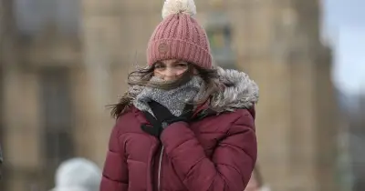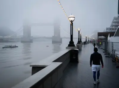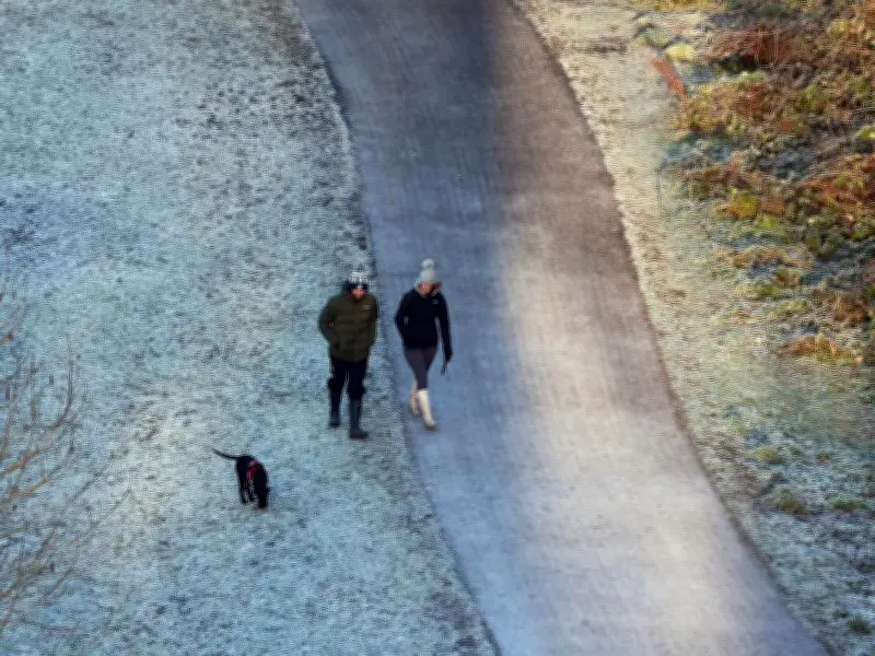
Temperatures are set to plunge across the North East this week, with Met Office weather maps showing the mercury dropping to -2C in some parts of the region and 0C in others.
Cold conditions moving in
On Tuesday night, clear conditions will allow frost to develop across many northern areas, alongside some patches of fog. By Wednesday, colder conditions will begin to move into the north.
By the evening of Wednesday, November 11, some parts of Northumberland and County Durham will see much colder temperatures. At 8pm, Hexham is at 1C, while Haltwhistle is at 0C. At that time, Newcastle and Ashington are showing 3C on the map, and Consett, Alnwick, Stanhope, Barnard Castle and Bishop Auckland are at 2C.
Overnight lows and Friday morning
By 6am on Thursday, November 12, Haltwhistle is down to -1C and Hexham is at 0C. A number of other places are just slightly higher at 1C, including Consett, Stanhope, Barnard Castle and Bishop Auckland.
According to the map, it is likely to remain -1C in Haltwhistle at 9am that morning. Other areas across the North East are only marginally higher, between 2C and 4C by 9am. Newcastle is at 3C at that point.
It warms up slightly during the day before becoming colder once again on Thursday night, with Haltwhistle plunging to -1C at 9pm. It then hits -2C at 3am on Friday morning, November 13. At that time, Hexham is 1C and Newcastle is 2C, staying at roughly those temperatures until at least 9am on Friday.
Scotland snow and weekend outlook
Meanwhile, Scotland could see snow this week. The Met Office says temperatures are expected to fall below average widely by Thursday and particularly Friday, as frost becomes more widespread. The far northeast will also feel particularly cold in stronger winds.
Met Office Chief Meteorologist Jason Kelly, said: "Snow showers could briefly fall on lower ground in northern Scotland and the Northern Isles, mainly Shetland, overnight on Wednesday and into Thursday. However, snow may only settle on higher ground and this is relatively normal for the time of year."
Through Thursday and Friday, colder air will spread further south across the UK. Most places will become dry with some clear or sunny spells, although showers remain possible in the north and parts of the east, some of these wintry over high ground in Scotland.
The Met Office says: "There remains some uncertainty over how quickly conditions change over the weekend. High pressure is expected to move away towards continental Europe, allowing Atlantic weather systems to become increasingly influential. Cold conditions are likely to become less widespread, with temperatures recovering closer to average and some rain possible later in the weekend."