
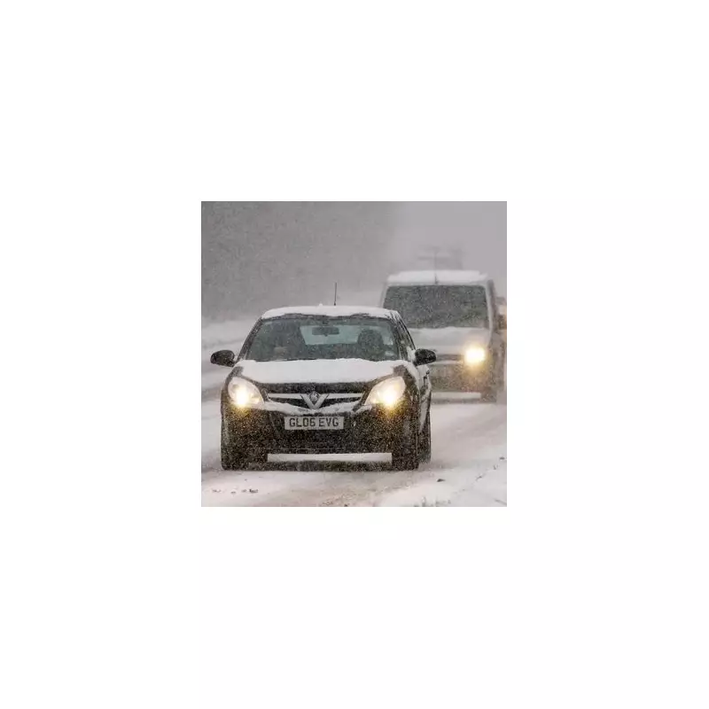
The Met Office has issued a significant wave of weather warnings for snow and ice, covering hundreds of miles across the United Kingdom. Authorities are urging motorists, particularly those in affected regions, to ensure they are carrying three essential items to stay safe during the hazardous conditions.
Widespread Warnings and Disruptive Forecast
Vast swathes of the country are now under yellow weather alerts, which are expected to remain in force for the next 72 hours. The warnings began this afternoon across Scotland and northern England, with a biting cold front and wintry showers sweeping in from the North Sea.
The alert area is set to expand significantly on Wednesday, encompassing the southwest, Wales, and the Midlands. A high level of alert will persist until 11.59pm on Thursday in north east England, North Yorkshire, and East Yorkshire. This sharp cold snap marks a dramatic end to the recent mild spell, which saw daytime temperatures of around 15C just last week.

The Three Essential Items for Your Car
According to official advice from the Met Office, all drivers travelling in warning areas should pack three key items in their vehicle:
- Warm clothing (including a blanket)
- An ice scraper and de-icer
- An in-car phone charger
The full safety notice recommends that motorists plan their route carefully, checking for delays and road closures. It also advises leaving more time for journeys and preparing your car before setting off. In addition to the three core items, the Met Office suggests packing food, water, a torch, a warning triangle, and a high-visibility vest in case you become stranded.
Significant Snow Accumulations Expected
The Met Office has detailed that wintry showers feeding inland from the North Sea through Wednesday and Thursday are likely to lead to snow accumulations, particularly in areas farther from the coast. While some places may see little snow, accumulations of 2-5 cm are possible where showers are most frequent.
The most severe impacts are forecast for the North York Moors and parts of the Yorkshire Wolds, which could potentially receive a staggering 15-25 cm of snow by Thursday. Such significant snowfall is expected to cause substantial disruption. The forecast also warns of gusty winds and a chance of lightning strikes, adding to the hazardous conditions. Overnight refreezing of partially thawed snow will also bring a widespread risk of ice.


