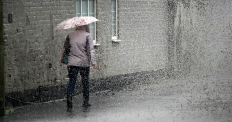
The Met Office has identified nine parts of the UK that could receive heavy rain on Saturday morning, even as much of the country prepares for a heatwave with temperatures reaching 32°C.
Rain Forecast Details
The Met Office's UK rainfall radar map shows precipitation and rainfall rates across the country, including forecasts up to five days and observations from the last 48 hours. Early Saturday morning, large parts of the UK are shown blanketed in blue as rain persists overnight from Friday.
By 00:15, a thick pillar of rain is expected to start on the South West coast of England, extending up to cover much of Wales, the West Midlands, parts of the East Midlands, the Northwest via Manchester, and up into the North East of England. Northern Ireland and Scotland may also see patches of rain, with much of Northern Ireland affected by 2am.

Rain Timeline
Rainclouds are likely to persist over large parts of Wales, Northern England, and parts of the South West of England until around 6:15am. By 7:45am, some large areas of rain will continue along the eastern coast of Scotland and down into the south, with patches elsewhere across the UK. By 12:45pm, widespread rain across the British Isles is forecast to have largely passed, save for some patches, mostly across Scotland. The East of England and the South East are expected to be largely spared from the early morning soaking.
Affected Regions
- Wales
- Scotland
- Northern Ireland
- South West England
- West Midlands
- East Midlands
- North West England
- North East England
- Yorkshire and the Humber
Heatwave Conditions
The rain comes as the Met Office stated that over the weekend, temperatures are expected to reach the high 20s Celsius widely, with the potential for 32°C in the south of England on Sunday and possibly 34°C or higher on Monday. Conditions will remain noticeably humid, with spells of rain, some heavy, across northern and western areas. There is also a chance of thunderstorms across central and southern England.
The UK Health Security Agency (UKHSA) has issued Heat Health Alerts in place until 8pm on 23 June. An Amber Heat Health Alert has been issued for a swathe of southern and eastern England, while a Yellow Heat Health Alert covers the Midlands. These alerts indicate potential impacts on health and wellbeing for some people. No Met Office weather warnings have been issued at this time.
Deputy Chief Forecaster Comment
Deputy Chief Forecaster Gregory Wolverson said: “This week’s weather reflects a contrast we often see in summer, with more unsettled conditions passing to the northwest of the UK while heat builds in the south and east. As we move towards the weekend, we’ll see conditions become more widely settled and temperatures rise all round. Many parts of southern and eastern England are likely to see temperatures high enough to meet heatwave thresholds. It’s important to note that while temperatures may be high, we might not all see the wall-to-wall sunshine and blue skies we experienced back in May because there is more cloud around. There is also a chance of thunderstorms developing in places, particularly later each day, which could bring heavy showers and localised impacts.”