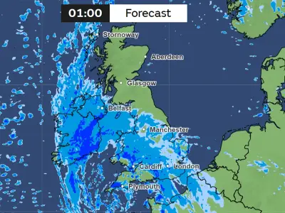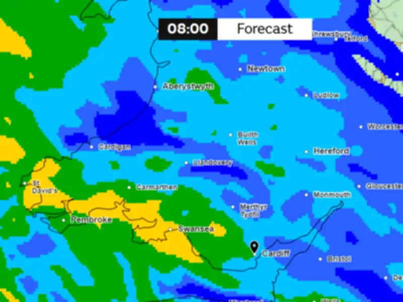
Heavy rain is set to return to most of Wales on Monday morning, October 26, with downpours expected between 6am and 1pm, according to Met Office weather maps.
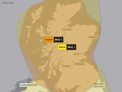
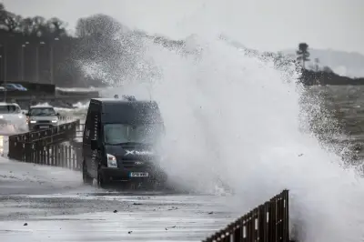
The wet and breezy conditions follow back-to-back storms that brought high winds, flooding, and power cuts to hundreds in south Wales. Storm Austen and Storm Boelo have left a trail of disruption as the autumn half term break begins.
Rain easing later Monday
Despite a drier but windy Sunday, the rain is forecast to return first thing Monday morning across most of Wales. The downpours are expected to ease during the day, with most of south Wales clearing by the early afternoon, leaving a dry evening.
Monday will also bring slightly warmer temperatures than recent days, with highs of 17°C in Cardiff and Swansea.
The Met Office forecast for Wales on Monday reads: "Feeling unpleasant during the morning with strengthening winds under a band of persistent rain. Patchy rain and some brighter spells during the afternoon, but very strong winds and coastal gales. Maximum temperature 13°C."
Strong winds continue Tuesday
On Tuesday, strong winds and coastal gales are set to continue, though it will feel significantly drier despite another rather wet night. There will be some smaller patches of rain but it will be largely dry throughout Wales.
The Met Office outlook for Tuesday to Thursday states: "On Tuesday, very strong winds, coastal gales and scattered showers. The showers and strong winds will ease into Wednesday for a bright, breezy day. Fine on Thursday with light winds."
By Tuesday evening, it will be completely dry but still quite breezy.
High pressure expected into November
The long-range forecast for the whole of the UK says that high pressure will become more dominant in the vicinity of the UK.
It adds: "Into early November and high pressure will most likely continue to be dominant feature near the UK, meaning drier than normal conditions for most if not all, though it could be rather cloudy and grey at times."
"If light winds and/or clear skies combine overnight, then areas of fog could develop, as would be typical at this time of year. Overall, temperatures are likely to be close to normal, but with the potential for cold nights with some frost around."
Forecasters have warned that there is an increase of a wet and stormy autumn, because of the El Niño affect. This comes after one of the warmest summers on record in Wales, with five heatwaves hitting the region. The unprecedented string of heatwaves and lack of rainfall brought the driest July in 190 years.
The Met Office says the name 'El Niño' is widely used to describe the warming of sea surface temperature that occurs every few years, typically concentrated in the central-east equatorial Pacific. It explains: "An El Niño is declared when sea temperatures in the tropical eastern Pacific rise 0.5 °C above the long-term average. El Niño is felt strongly in the tropical eastern Pacific with warmer than average weather."
The effects of El Niño often peak during December; its name "the boy" is thought to have originated as 'El Niño de Navidad' centuries ago when Peruvian fishermen named the weather phenomenon after the newborn Christ.