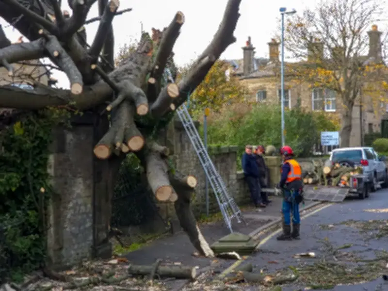
Forecasters have warned of "severe gales" as a third storm could batter parts of the UK within days, following the impact of Storm Boelo which brought gusts of up to 84mph.
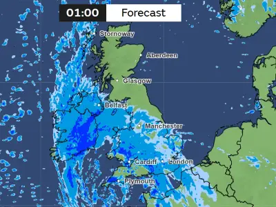
Met Office forecaster Stav Danaos said north-west Scotland and Northern Ireland could bear the brunt of the next bout of unsettled weather, with a new area of low pressure moving in from the Atlantic.
Winds could reach gale or severe gale force in western Scotland and potentially Northern Ireland on Tuesday, accompanied by heavy rain, he warned.
Potential Storm Chloe
The system could become the third named storm to hit the UK and Ireland in quick succession, following Storm Austen and the more powerful Storm Boelo. If it meets the criteria to be named, it would be called Storm Chloe.
However, forecasters have stressed that the latest system does not currently look as disruptive as Storm Boelo.
Mr Danaos said: "Wet and windy weather is set to continue as we head from Monday into Tuesday with this area of low pressure just moving to the north west of Scotland."
"So into Tuesday we could see stronger winds for the north western areas touching gale or severe gales for the west of Scotland and perhaps Northern Ireland along with heavy rain as well."
"The further south you are it will tend to stay drier, still blustery mind due but with sunshine and 17C the high, a bit cooler further north."
Storm Boelo Aftermath
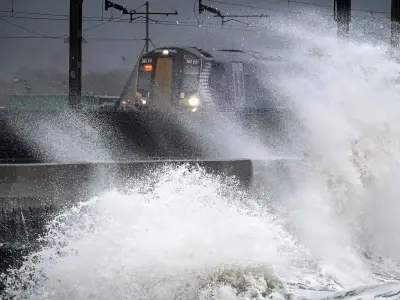
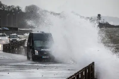
More than 82,000 properties are currently still without power as Storm Boelo continues to batter northern parts of the UK with gusts reaching 84mph.
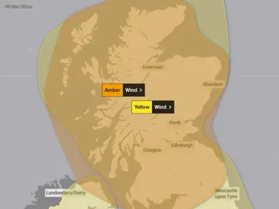
An amber wind warning remains in place until 9pm, having activated hours after the first named storm of the season petered out from the south west.
On Sunday morning, winds gusts peaked at 84mph in Argyll and Bute, 83mph in Snowdonia and 82mph in the Inner Hebrides, the Met Office said.
Engineers battling severe weather have reconnected 344,900 customers to power but 82,600 are still disconnected, Energy Networks Association said at about the same time. Footage showed floodwater coursing around the town of Largs, North Ayrshire.
Forecasters' Predictions
Fellow BBC weather forecaster Ben Rich said: "We do have another deep area of low pressure passing close to the north west of the UK. Now this doesn't look quite as disruptive as Storm Boelo has been, but still some quite strong winds passing across parts of northern and western Scotland especially."
And Cathal Nolan of Ireland's Weather Channel is predicting another "significant storm" which will be arriving within 48 hours.
"The next storm depression is already winding itself up... and it is expected to develop into another significant storm over the next 48 hours," he said on the Weather Channel, Dublin Live reports.
"So while we will see some strong and gusty winds through tomorrow Monday accompanied by spells of heavy rain, it's not going to be quite as intense, certainly not as Storm Boulo, which was certainly the strongest of the two storms we've had so far."
He added: "If this is to be named a storm as we go through tomorrow and into Tuesday, it's likely to be named by the UK Met Office. The very strongest of the winds will be across the northwest of Scotland. If it is to be named a storm it will be of course called Storm Chloe. And otherwise, beyond that it looks like our weather actually settles down."