The Met Office has issued a new verdict on the possibility that snow could hit the UK earlier than usual this winter, citing a 'disturbance' in the stratospheric polar vortex high above the North Pole.
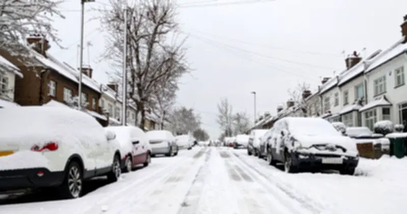
Although snow is not confirmed, forecasters said the vortex is 'currently being disturbed' with signs of 'sudden stratospheric warming' (SSW), a phenomenon that can lead to colder conditions including fog, frost and snow. They described this as an 'exceptional development for this early in the season' and noted a possible link to the current El Niño event in the tropical Pacific.
What Is the Stratospheric Polar Vortex?
In an explanation, the Met Office described how the stratosphere above the North Pole becomes increasingly cold during autumn as the Northern Hemisphere receives less sunlight. The growing temperature contrast between the Arctic and lower latitudes strengthens a ring of westerly winds around the pole, known as the stratospheric polar vortex.
The office added: "The stratospheric polar vortex high above the North Pole is currently being disturbed, with signs that a sudden stratospheric warming (SSW) is developing. It is an exceptional development for this early in the season and there is an intriguing connection with the current exceptional El Niño in the tropical Pacific."
El Niño's Role in the Disturbance
The Met Office noted that this 'wave two activity' is considerably stronger than average for the time of year, and forecasts suggest the vortex will become increasingly displaced from the North Pole.
Met Office presenter and meteorologist Aidan McGivern said: "El Niño is basically enhancing the waves that go on in the troposphere, the wriggly jet stream. Those waves can then propagate upwards into the stratosphere, knocking, bumping and disturbing that circle of winds around the polar stratosphere, causing it to be displaced, pushed off the pole, deformed or even split."
This is described as a good example of a 'teleconnection', where atmospheric changes in one part of the world influence weather patterns thousands of kilometres away. The current disturbance is already producing warming in the stratosphere above the North Pole, with forecasts showing temperatures continuing to rise while the normally westerly winds surrounding the vortex weaken.
Potential Impact on UK Weather
If an SSW does occur, its timing would be particularly notable. The forecaster said: "It would be exceptionally early in the season compared with the events meteorologists are more accustomed to analysing later in winter."
McGivern explained: "We know that El Niños increase the chances, through this chain of events, of sudden stratospheric warmings happening, and we know sudden stratospheric warmings increase the chance of colder weather for the UK. So we've got this chain of events that we can start to flag well in advance."
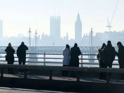
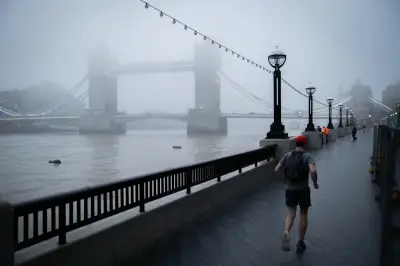
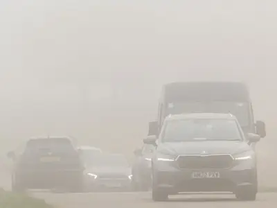
The Met Office added: "High pressure over the UK could bring quieter, drier conditions with an increased likelihood of frost and fog. Blocking farther north could encourage easterly winds, while high pressure to the west could make northerly winds more likely. Historically, an SSW increases the chance of colder UK weather, but the outcome is far from guaranteed."
That uncertainty is particularly important with such an early-season event because there is generally less cold air available across the Northern Hemisphere than later in winter. For now, this is not a forecast of an impending UK cold spell; instead, meteorologists will be closely monitoring the polar vortex and whether changes in the stratosphere eventually work their way down into the part of the atmosphere where day-to-day weather takes place.