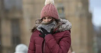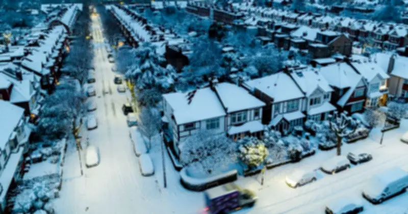
The Met Office has confirmed that snow could arrive in parts of the UK as soon as Wednesday, as the likelihood of a Polar Vortex blast of icy air continues to increase.
The UK has already faced a cluster of yellow weather warnings for fog at the start of this week, but those challenging conditions could soon give way to a much colder spell. The first snowfall of this winter could break across parts of the UK on Wednesday, with more cold weather expected on Thursday and Friday.
Snow showers in northern Scotland
Met Office Chief Meteorologist Jason Kelly said: "Snow showers could briefly fall on lower ground in northern Scotland and the Northern Isles, mainly Shetland, overnight on Wednesday and into Thursday. However, snow may only settle on higher ground and this is relatively normal for the time of year."
The Met Office's latest forecast, issued on Monday, said: "During Tuesday, cloud and outbreaks of rain will spread north across much of England and Wales, with some heavier bursts possible in the southwest later. Elsewhere, many places will remain dry with sunny spells, although fog and low cloud could be slow to clear. Temperatures will generally be near or a little below average."
Colder air spreading south
The forecast added: "Tuesday night will remain cloudy across southern areas with further outbreaks of rain, heavy at times in the southwest. Elsewhere, clearer conditions will allow frost to develop across many northern areas, alongside some patches of fog. By Wednesday, colder conditions will begin to move into the north. Rain will continue across parts of southern England and Wales, while showers move south across Scotland, becoming wintry at times in the far north and northeast. Strong winds are also expected in the far northeast."
The forecaster said these colder conditions could then spread further south into England. It added: "Through Thursday and Friday, colder air will spread further south across the UK. Most places will become dry with some clear or sunny spells, although showers remain possible in the north and parts of the east, some of these wintry over high ground in Scotland. Temperatures are expected to fall below average widely by Thursday and particularly Friday, as frost becomes more widespread. The far northeast will also feel particularly cold in stronger winds."
Polar vortex disruption risk
The warning comes days after the Met Office's weather experts cautioned that the polar vortex could be disrupted in a matter of weeks, sending a blast of icy cold air to the UK and bringing risks of ice, fog, frost and snow as conditions turn colder.
Last week, the Met Office set out how a polar vortex could bring snow to the UK this winter. It said: "When a [stratospheric warming] affects conditions near the surface, it can weaken the jet stream and encourage blocking high pressure over the North Atlantic, Greenland or Scandinavia, disrupting Atlantic weather systems and changing the air reaching the UK.
"If high pressure becomes established to the north or northeast of the UK, colder easterly winds can impinge on the UK. These tend to bring colder, drier air and can produce sleet or snow showers, especially in eastern areas. In other setups, northerly winds can bring cold Arctic air southwards, increasing the risk of wintry showers, ice or snow, depending on temperatures and moisture."
Met Office forecaster Marco Petagna told ITV: "At the moment, we've got a warming taking place in the stratosphere. The polar vortex in the stratosphere is starting to weaken." He added that if winds change direction, it would turn into a "major sudden stratospheric warming" event, potentially the earliest ever recorded.