
The Met Office has issued a yellow weather warning for strong winds across most of England and Wales, with gusts of up to 70mph expected. The warning came into effect at 8pm on Sunday and will remain in place until 6pm on Monday, covering all areas except the north of the Lake District and the far North East.
Forecasters predict widespread gusts of 45 to 55mph, with exposed coastal locations potentially seeing 70mph. The Met Office stated that the storm is not expected to be named, as the impact is considered low. The first named storm of the season would be Storm Amy.
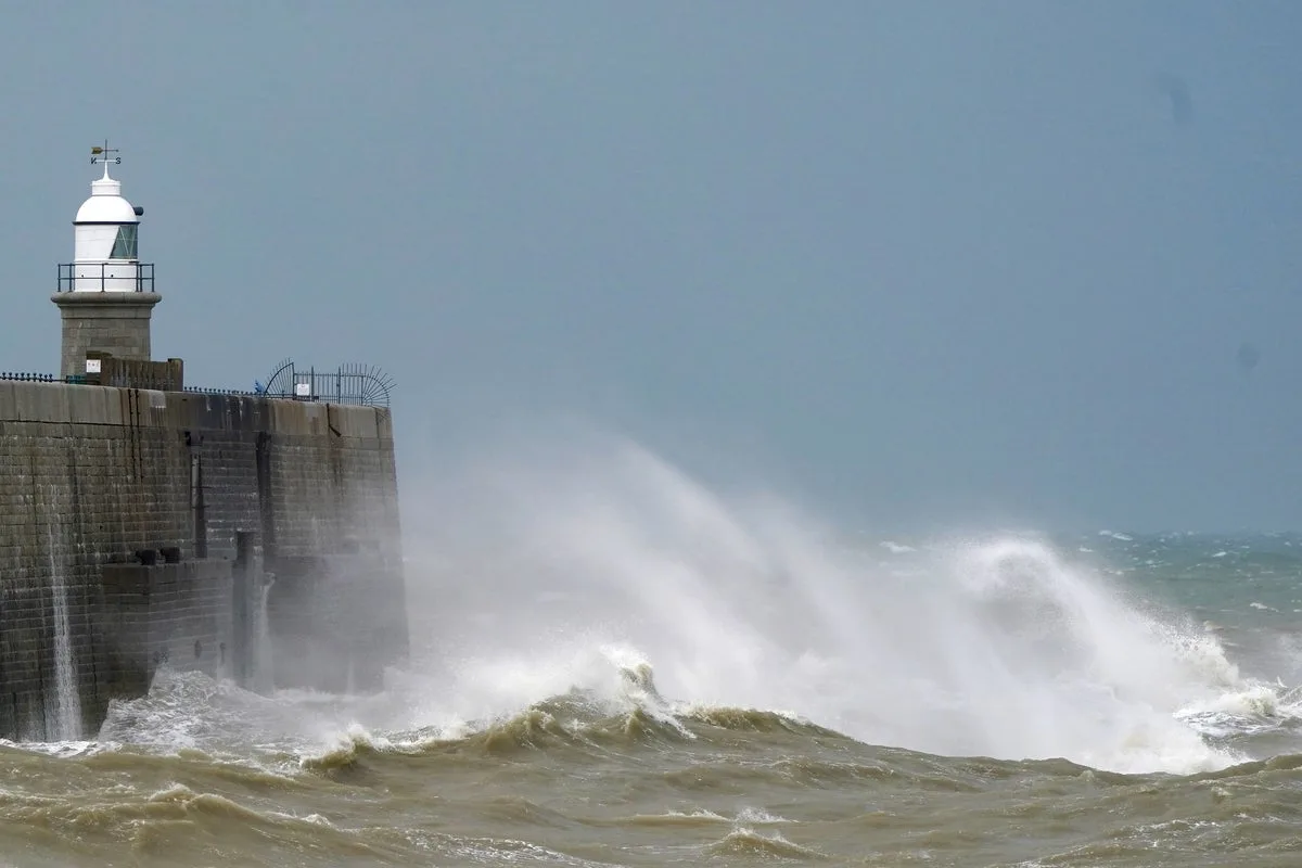
Communities near coastal routes and sea fronts may be affected by large waves. The Met Office advises residents to secure loose items such as bins, garden furniture, trampolines, tents, sheds, and fences to prevent injury or damage. Travel disruptions are possible, with delays on roads, buses, and trains expected on Monday morning.

Met Office meteorologist Tom Morgan said there could be brief power interruptions and travel disruption for the return to work. He noted that the strongest winds are expected in west Wales and North West England on Monday morning. The week ahead will bring changeable conditions with periods of wind and rain, and the wet ground may lead to surface water and potential flooding issues.


