
The Met Office has advised drivers in 12 regions to keep 10 essential items in their cars as snow and ice are expected to cause disruption. Several weather warnings, including a more severe amber warning for snow, are in force until Thursday.
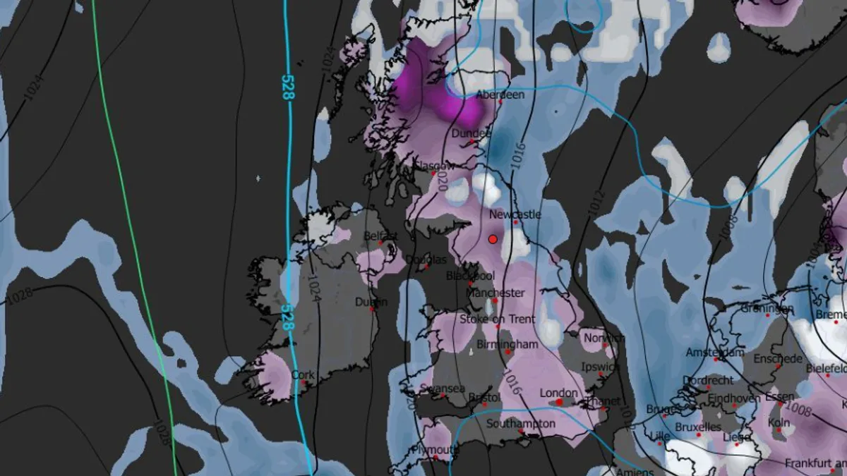
The amber warning covers Redcar and Cleveland, East Riding of Yorkshire, and North Yorkshire from 5am to 9pm on Thursday, with up to 10 inches (25cm) possible over the North York Moors and parts of the Yorkshire Wolds. Yellow warnings are in place across Northern Ireland, parts of Wales, northern and southwest England, and much of Scotland.
The Met Office recommends that drivers avoid travel if possible. For those who must drive, essential items include warm clothing, food, water, a blanket, a torch, an ice scraper or de-icer, a warning triangle, a high-visibility vest, and an in-car phone charger.

Met Office chief forecaster Neil Armstrong said: 'Cold Arctic air from the north is firmly in charge of the UK's weather, bringing the first notable cold snap of this autumn.' He warned of wintry showers and accumulations of 2-5cm at lower levels, with 15-20cm possible on higher ground in Scotland and up to 25cm over the North York Moors and Yorkshire Wolds.
Temperatures could drop as low as -11C in rural parts of Scotland on Thursday night, with daytime temperatures in low single figures for many. BBC forecaster Carol Kirkwood said the cold snap is expected to continue until the weekend.


