Greater Manchester is no longer in drought conditions, and forecasters predict mostly dry weather for the week ahead, bringing good news for Bonfire Night. High pressure is set to bring settled conditions to the north west, according to the Met Office.
Recovery status after wettest week
All of north-west England, including Greater Manchester and Cumbria, was moved to recovery status on Wednesday after England experienced its wettest week for two years, the Environment Agency (EA) said. The region had been in drought for much of the summer.
However, severe drought remains in place across parts of the South West and Sussex, including areas in Cornwall, Devon, Dorset, Somerset, East Sussex and West Sussex. Much of Wales also remains in drought after the UK's hottest summer since records began in 1884.
Dry week with sunny spells
Tom Morgan, meteorologist at the Met Office, said: "High pressure will dominate, which is still unfortunately bad news for southern regions in particular, which are experiencing the severe drought conditions that we've seen for several months now. There may well be a few showers at times, particularly in Kent, very far south-east of England tomorrow (Monday) and on Tuesday."
In Greater Manchester, the weather should remain dry all week, with sunny spells from Monday through to Thursday and cloudier conditions forecast for the weekend. Temperatures are hovering around 10-12C, near average for early November, with the odd chilly start to the day.
Bonfire Night outlook
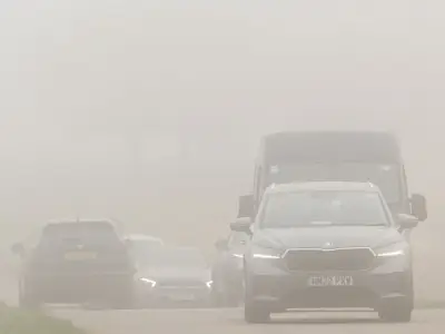
Mr Morgan said the dry conditions should remain in place for Bonfire Night on Thursday. He added: "The weather does mean that we do have bonfires, celebrations, events rather going on through this week. There could be quite a lot of kind of smoke and trap kind of poor visibilities at times because of that, because of the high pressure."
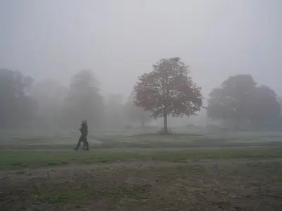
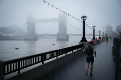
A yellow fog warning was in place across parts of England and Wales until Sunday morning, with some dense fog patches bringing visibility down to less than 100 metres in certain areas. This came just days after England was battered with rain, leading to increased river levels in many parts of the country.
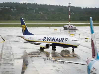
Storms Austen and Boelo caused England to have its wettest week since October 2024. Austen triggered an amber warning from the Met Office for strong winds and rain across Cornwall and parts of Devon on October 23, along with a yellow warning for much of central and southern England. Gusts reached nearly 80mph on the Isle of Wight, flights were cancelled and thousands of homes were left without power. Boelo arrived the following day, prompting an amber warning for wind over Scotland, with a yellow warning covering northern England.