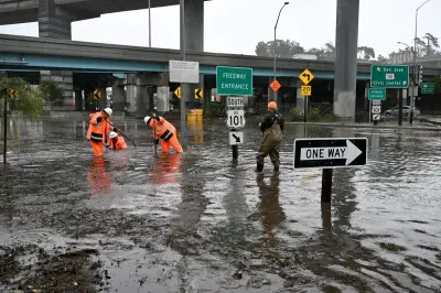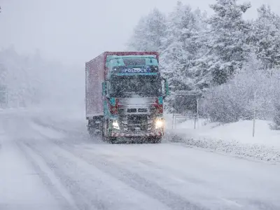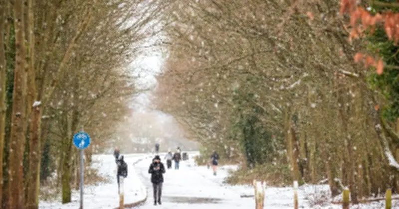
Parts of the UK are set to experience a rare weather event next week, with freezing rain expected to hit several areas, according to the latest weather maps from WXCharts.
The maps, which turned orange for November 24, indicate that many areas will be affected by the unusual phenomenon. Freezing rain is a rare type of liquid precipitation that strikes a cold surface and freezes almost instantly.
Affected Areas and Timing
According to the maps, areas around Gloucester, Herefordshire, Bristol and Exeter will experience the freezing rain along with snow. The unsettled conditions are expected to hit at around 6am on Tuesday.
The Met Office explained that the conditions needed for freezing rain are quite specific and that the phenomenon is not seen very often in the UK.
Met Office Explanation
The Met Office said: "It can produce striking effects, as the rain drop spreads out momentarily across the surface before it freezes, encasing the surface in a layer of clear ice."
It added: "Freezing rain is more common in other parts of the world, for example in the USA, where weather systems produce a lot of freezing rain. These are called ice storms, and if enough glaze collects on trees or power lines, the weight of the ice can cause them to break and can result in disruption on a large scale."
Temperature Drop and Forecast
The WXCharts weather maps come as temperatures are set to plunge below freezing across large parts of the UK overnight, with a widespread frost expected to develop over the weekend.
A separate forecast by the Met Office suggests some areas of Scotland could see lows of around -9C, while much of the country faces a sharp drop in temperatures as colder conditions take hold. Despite the chilly outlook, daytime temperatures on Friday are expected to reach around 4C in parts of Scotland, 8C across Northern Ireland and up to 10C in southern areas of England and Wales.
The Met Office's weather forecast between November 24 and December 3 reads: "Bands of rain will move in from the Atlantic at times, making erratic and uncertain eastward progress across the UK.
"These systems may also bring occasional strong winds. Either side of bands of rain a mixture of clear/sunny spells and showers.
"Often rather cold in northern areas which could allow precipitation to fall as snow at times, mainly over hills. Generally milder in the south though still potential for some cold nights in clearer spells.
"Through late November, there is an increasing chance that high pressure will start to have more influence bringing more settled conditions, particularly across the north. Temperatures likely staying close to average, although an ingress of colder conditions cannot be ruled out."