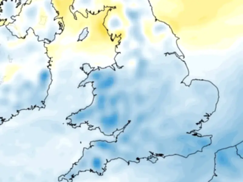
BBC Weather has issued its Bonfire Night forecast, urging Brits to "wrap up warmly if you are out watching fireworks on Thursday evening" as chilly conditions are expected. The Met Office says Thursday, on which this year's Guy Fawkes Night falls, will be "rather chilly" across the UK, particularly in southern areas.
Chilly Conditions and Winds
Brisk easterly winds are forecast across the south, along with some isolated showers, particularly in south-west England. The northern half is forecast to see the brightest conditions, although fog may linger. BBC Weather appears to back this forecast and says conditions will be dry and settled during the day across most of the UK, with the exception of a few showers in eastern Scotland and England. There is also a chance of frost in sheltered locations in northern areas of the UK.
Temperatures are forecast to drop into single figures by Thursday night. "Wrap up warmly if you are out watching fireworks on Thursday evening," BBC Weather said. "The weather is looking chilly with temperatures forecast to drop through the night into the mid-single figures."
Comparison to Last Year
The broadcaster noted that while temperatures will be "more or less" in line with the seasonal average, it will be much colder than last year's Bonfire Night, which was the warmest on record. Locations such as Southampton, Richmond, Dorset and Anglesey had recorded temperatures above 14C.
BBC Weather said high pressure is expected to continue dominating for the rest of the week. It comes as the Met Office confirmed the return of anticyclonic gloom to the UK.
Anticyclonic Gloom Return
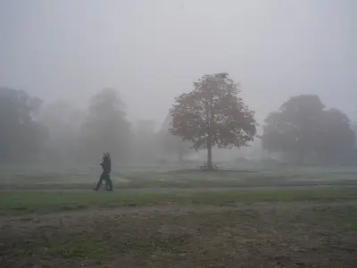
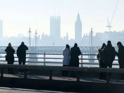
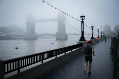
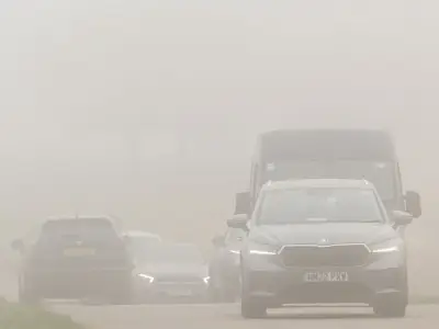
Anticyclonic gloom is defined by Oxford University's Dictionary of Earth Sciences as a "condition of low visibility associated with anticyclones" - or high-pressure systems - which is particularly common during the autumn and winter months. The area of high pressure creates a stable atmosphere that suppresses vertical air movement. As a result, moisture and low cloud become trapped close to the Earth's surface, preventing the usual mixing that would disperse fog and allow sunshine to break through.
"The result is a blanket of dull, grey weather that can persist for days, particularly in inland areas and valleys where cold air pools and fog becomes entrenched," the Met Office says. From Friday to Sunday, the national weather service forecasts cloudy weather across the country, with occasional frost and fog. Showers are expected to continue, remaining light in eastern areas but becoming locally heavy in the south-west. Temperatures are forecast to be near average.
From Monday, the Met Office says high pressure will begin to move eastwards, allowing frontal systems to approach the UK from the south-west. However, it remains uncertain how far they will progress inland.