
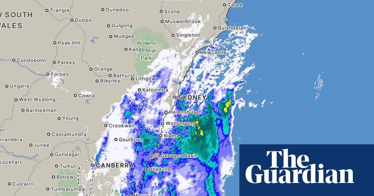
A 'vigorous coastal low' has formed off Australia's east coast, bringing potentially damaging winds, hazardous surf, and persistent rainfall and flooding across much of the New South Wales coastline, according to the Bureau of Meteorology.
Millions of residents are in the path of a severe low-pressure system intensifying off NSW's north coast, tracking towards regions still recovering from deadly floods. Authorities are preparing for dangerous weather conditions on Tuesday and Wednesday, with hundreds of emergency services personnel, helicopters, and specialist vehicles on standby.
In a weather warning issued at 11pm on Monday night, the Bureau of Meteorology said a vigorous coastal low was developing offshore, set to bring damaging, locally destructive winds and possible heavy rainfall over central and northern NSW from Tuesday. At 4.10am on Tuesday, it repeated warnings of storm force winds for the Macquarie coast and Hunter coast, and a gale warning for Sydney enclosed waters, the Sydney coast, Illawarra coast, and Batemans coast. There was also a warning of strong winds for the Byron coast, Coffs coast, and Eden coast.
Australia is regularly affected by low-pressure systems and cold fronts, but some on the east coast can intensify quickly and hang close to the coast, producing persistent rain and strong winds. The low-pressure system has similarities to an east coast low, but experts say there are important differences and are not calling it a 'bomb cyclone'.




