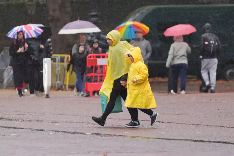
The Met Office has raised the alarm across multiple regions of the United Kingdom as a significant weather system prepares to unleash torrential rainfall, sparking fears of widespread flooding and travel disruption.
Immediate Threats and Affected Regions
Meteorologists have issued yellow weather warnings for heavy rain covering substantial portions of Wales, including the picturesque regions of Powys and Ceredigion. The Environment Agency has simultaneously activated 15 flood alerts, primarily targeting areas in the West Midlands where river levels are expected to rise dangerously.
The timing couldn't be more concerning, with the deluge predicted to intensify throughout Tuesday evening and persist into Wednesday morning, creating peak-hour travel nightmares for commuters.
What to Expect During the Downpour
Forecasters warn that the incoming rainfall could accumulate between 30-40mm in many areas, with some vulnerable locations potentially receiving up to 60mm. This volume of precipitation in such a short timeframe significantly increases the risk of:
- Rapid flooding of homes and businesses
- Dangerous driving conditions with spray and standing water
- Public transport delays and cancellations
- Possible road closures and infrastructure damage
- Community isolation in the most severely affected areas
Official Guidance for Residents
The Environment Agency is urging residents in flood-prone areas to take immediate precautions. "We strongly advise people to sign up for flood warnings," stated an agency spokesperson. "Keep a close eye on local water levels and have an emergency plan ready. Avoid walking or driving through flood water - just 30cm of flowing water can move a car."
Emergency services across the warned regions are preparing for potential call-outs, with sandbags being distributed in vulnerable communities and response teams placed on high alert.
Broader Weather Patterns and Climate Context
This severe weather event occurs against a backdrop of increasingly volatile weather patterns across the British Isles. While the current system is expected to clear by Wednesday afternoon, meteorologists are monitoring further systems that could bring additional rainfall later in the week.
The Met Office emphasizes that while such weather isn't unprecedented for autumn, the intensity and frequency of these events align with broader climate change predictions for the UK, where warmer atmospheres can hold more moisture, leading to more extreme rainfall events.
Travel authorities recommend checking conditions before departing and allowing extra time for journeys during the warning period. Those living in flood-risk areas should move valuables to higher ground and prepare emergency kits containing essential documents, medications, and supplies.


