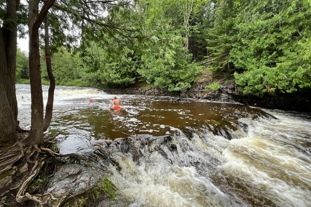
Michigan may be known as the Great Lakes state, but most of its residents have a river to thank for their hometown’s existence. With 76,000 miles of rivers, creeks and streams, the state's shoreline along these waterways is 46 times longer than its Great Lakes coast. 'Just looking at settlement patterns in Michigan tells us a lot about how important our rivers are,' said Lisa Dechano-Cook, a Western Michigan University geographer.
Rivers have shaped Michigan's landscape and history, from glacial deposits forming eskers to Native American settlements relying on wild rice. Europeans built riverside communities for transport and later used rivers for logging, industry and waste disposal. By the mid-1900s, many rivers were dangerously polluted, with fish unsafe to eat and industrial waste contaminating waters.
Public pressure led to the Clean Water Act of 1972, sparking decades of restoration. Hundreds of millions have been spent removing contaminated sediment and reclaiming shorelines. Today, rivers like the Detroit River see fishing boats and swimming beaches, with Harry Jones of the Detroit Community Sailing Center noting that 'cleaning up the water and making more access points have been key catalysts.'
However, challenges remain, including E. coli and PFAS pollution, development pressure and legacy contamination. This summer, Bridge Michigan will explore the state's rivers, highlighting both recreational opportunities and ongoing struggles.