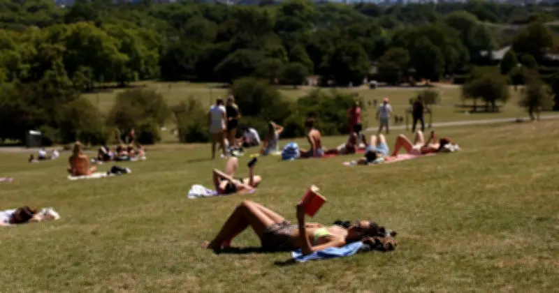
The Met Office has named eight areas across southern and western England that are forecast to hit 32°C on Sunday, as the UK continues to experience an exceptional heatwave. The amber heat health alert issued by the UK Health Security Agency (UKHSA) remains in force until 9pm on Sunday, while a yellow alert covers the North East.
Areas Expected to Reach 32°C
According to Met Office forecast maps for 4pm on Sunday, the following locations are set to reach 32°C: Bude, Foxham, Weston-super-Mare, Bridgwater, Taunton, Tiverton, Yeovil, Gillingham, and Blandford Forum. These areas span from Cornwall to Dorset, reflecting the westward shift of the heat.
Heatwave Shifting West
Met Office Deputy Chief Forecaster David Hayter explained: "Areas of central and southern England and Wales are expected to see several more consecutive days of temperatures above 30°C." He added: "While temperatures are expected to reach into the low to mid-30°Cs through the weekend, the focus of the heat will gradually shift towards western parts of the UK."
Temperatures are expected to ease slightly from Friday's peak, but many southern and western areas will remain above 30°C into next week, with largely dry and sunny conditions.
Record-Breaking Heat
The prolonged spell of exceptional heat has already rewritten the record books. Met Office Science Manager Dr Amy Doherty noted: "This year has already seen a number of remarkable temperature milestones." She confirmed that 2026 is the first year in UK weather records to see temperatures of 35°C or higher in May, June, and July, with a record eight days above 34°C.
Thunderstorm Risk from Monday
Looking ahead, Hayter warned: "There is a possible increase in thunderstorms from Monday in parts of the south, however most areas will remain dry, sunny and very warm into the coming week."