Temperatures are set to spike again in southern England from Wednesday, with parts of the region reaching 32C or 33C and meeting heatwave criteria. The fourth heatwave of the summer comes after a brief lull, but brings a renewed risk of exceptionally severe wildfires.
Heatwave thresholds to adjust
Senior Met Office meteorologist Marco Petagna warned that heatwave thresholds will need to be adjusted to take into account the warming climate. Some counties were nudged up by a degree four or five years ago, he added.
Exeter was officially in a heatwave for 21 days – a run that will likely end on Sunday. At the height of the third heatwave, in mid-July, firefighters were battling 19 significant wildfires simultaneously in England and Wales. A National Fire Chiefs Council (NFCC) spokesperson said this demonstrates “the scale of the challenge posed by the prolonged hot, dry conditions.”
Yellow heat alert issued
A yellow heat alert has been issued from 9am on Tuesday to 9am Friday for the East and West Midlands, the south-east, south-west and east of England, as well as Yorkshire and the Humber. The UK Health Security Agency (UKHSA) warned of possible “significant impacts” on health and social care services, including a rise in deaths among the elderly or people with health conditions, and an increase in drownings.
North-south split expected
Forecasters are expecting this week’s heat to be a “north-south split”, with clouds and outbreaks of rain continuing in Northern Ireland, Scotland and northern England. But the peak will be “almost a blink and you miss it”, with temperatures widely cooling close to average by the weekend, said Met Office senior operational meteorologist Dan Stroud.
Wildfires, low water levels and drought are a result of the record-breaking temperatures and their longevity, as the UK faces more extreme weather fuelled by human-caused climate change, mostly from burning fossil fuels.
Fire risk continues
Mr Stroud said: “In terms of wildfire, obviously the continuation of the dry and hot conditions does elevate the fire risk. That rain we’ve had, even though it’s welcome rain for the last few hours, is certainly not enough really to do a huge amount for the dry conditions we’ve already got. That risk continues.”
If they start, fires are likely to become exceptionally severe on Sunday in pockets of east, south-east and the south of England, according to Met Office data used by Natural England and Natural Resources Wales. That “exceptionally severe” risk level disappears for the whole country before returning on Wednesday for a wider breadth of east, south, and south-east England. It then focuses in the east and south-east of England on Thursday.
The Fire Severity Index looks at data including rainfall, temperature and humidity. Agencies use it to assess the severity of fire if it starts. It does not cover the chances of wildfires occurring.
Drought and records
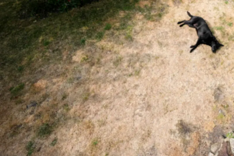
July was 3C above average across the UK, according to provisional Met Office data. This could put it among the hottest three or four months of July on record, said Mr Stroud. Southern England has had just 1% of its average July rainfall. England has had 5% and the UK as a whole 20%.
Emergency crews have already spent days fighting large wildfires in Wales and Scotland that forced people to evacuate their homes.