The Met Office has issued new yellow weather warnings for snow, sleet, hail, freezing rain, and icy conditions across most of the UK this weekend, as an Arctic blast of very cold air moves southwards. The warnings, which cover potential travel disruption, are in place until Sunday morning.
From 4pm Friday to 10am Saturday, warnings for snow, sleet, and hail showers apply to northern Scotland and coastal areas of north-east England and Yorkshire. Ice warnings cover Wales, south-west England, northern England, the Midlands, the east of England, and London from 5pm Friday to 10am Saturday. Northern Ireland is under an ice warning from 8pm Friday to 10am Saturday.
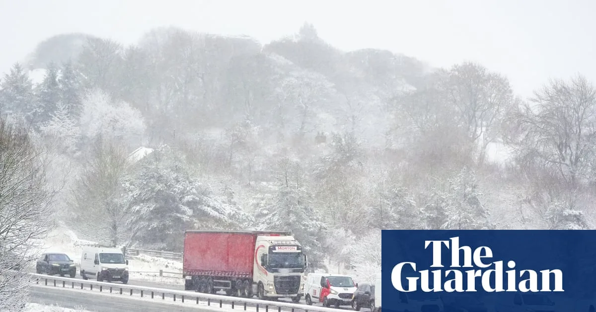
A further snow and ice warning comes into effect from 9pm Saturday to 10am Sunday for Scotland and northern England, with forecasters predicting potentially heavy snow and freezing rain. The Met Office warned of hazardous ice on untreated roads and pavements, and National Highways reported the closure of the A66 across the Pennines due to concentrated snowfall.

The UK Health Security Agency has issued yellow cold weather alerts for northern England and the Midlands from 6am Friday to 8am Monday, warning of increased risk to life for vulnerable people. The wintry conditions follow a wet start to 2026, with parts of Devon, Cornwall, and Worcestershire experiencing 40 days of rain, and Aberdeen enduring 21 consecutive sunless days.