A cold weather alert has been extended as UK temperatures are expected to reach -10C in the coming days. The UK Health Security Agency warned that the conditions pose a greater risk to life for vulnerable people.
Coldest Night of Autumn Recorded
Overnight on Thursday (November 19), a low of minus 8.4C was recorded at Tulloch Bridge in the Scottish Highlands. According to the Met Office, this made it the coldest night of autumn so far.
However, Friday night (November 20) could be even colder as many will be out for what is considered the first of the Christmas party season. A yellow cold health alert is in force for the North West, North East and Yorkshire and the Humber.
Alert Extended Until Tuesday
The alert has now been extended until 9am on Tuesday (November 24). This alert means that conditions could lead to an increased use of healthcare services. Additionally, the UK Health Security Agency said that it poses a greater risk to life for vulnerable people.
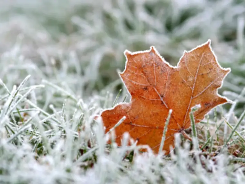
Despite many parts of the UK experiencing rare sunshine on Friday after a week of the sun hiding behind the clouds, the frost will return fairly quickly as the sun sets before another cold night.
Forecasters Warn of Freezing Fog
Met Office chief forecaster Matthew Lehnert said: “Tonight will be very cold across the UK, with largely clear skies allowing a widespread frost to develop. The lowest temperatures are expected in sheltered rural parts of Scotland and far northern England, with lows of around minus 8C or minus 9C. Patches of freezing fog could also form overnight, particularly across Northern Ireland, eastern England and around the Solway Firth, with isolated patches of dense fog possible further south.”
The forecaster continued: “After a cold and frosty start on Saturday, most places will enjoy a largely dry and bright day. It will stay chilly, particularly in north-eastern parts of the UK, while temperatures in the South West will be closer to average.”
Met Office meteorologist Alex Burkill noted temperatures could possibly reach negative double figures in sheltered parts of Scotland. This would be the coldest period of the year to date.
Flood Alerts and White Christmas Hopes
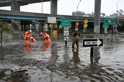
The updates arrive as about a dozen flood alerts remained in place for England on Friday after a spell of wet weather. More flood warnings could be issued over the weekend as rainy and windy conditions are forecast for the South West.
Meanwhile, many are convinced that a white Christmas is on the way due to the El Nino. Occurring every two to seven years, an El Nino event is a natural climate pattern characterised by the warming of sea surface temperatures in the central and east-equatorial Pacific Ocean.
El Nino 'tends to promote the breakdown of the polar vortex, especially in late winter', a research paper published by the US government's NOAA Chemical Sciences Laboratory previously stated.
Providing an update this week, Met Office Scientific Lead Jeff Knight, who contributes to seasonal forecasts, said: “We have an historic El Niño that is very likely to influence the outlook for the winter. In recent model output, we are seeing elevated chances of weather patterns similar to those linked to El Niño events in past winters. This pattern is called the negative phase of the North Atlantic Oscillation (NAO). A negative NAO corresponds to higher-than-usual pressure across a broad portion of the North Atlantic north of the UK and lower-than-usual pressure further south. In UK latitudes in winter, a negative NAO results in the reduction of the mild, damp westerly winds that we usually receive. Consequently, a negative NAO winter is more likely to be colder and drier than usual.”