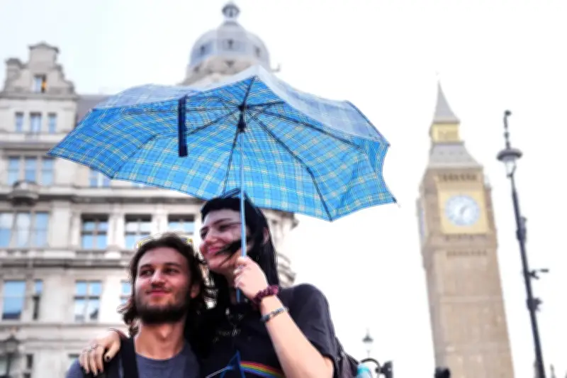
Two yellow thunderstorm warnings have been issued for much of England and Wales on Thursday, with some areas potentially seeing between 50-75mm of rainfall, along with lightning and hail, the Met Office said.
Warm temperatures are expected with highs of 27 or 28C. The warnings cover London and the South East between 2am and 8am, and Wales and much of England from 5am until 10pm.
Rainfall and hail details
The South East warning area could see 30-40mm of rainfall and “fairly large hail between 1-2cm”, while the bigger warning area could have more than 75mm of rain through 12 hours in parts, Met Office forecaster Craig Snell said.

Temperatures will drop closer to average for the time of the year over the weekend, with highs of 24 or 25C on Friday, then 22 or 23C until Monday.
Forecast for Thursday and beyond
Mr Snell said: “We’re watching the risk of some heavy rain and thunderstorms moving up from the south.
“On Thursday as we wake up there will be a band of potentially heavy rain and thundery rain stretching across parts of the UK.
“For parts of the Midlands and Wales it’s going to be quite a wet day really.
“We could see some further thunderstorms move into the south east around Thursday evening.”
Bank holiday weekend outlook
Friday will see further heavy rain and thunderstorms across the UK, before further rain moves in on Saturday, and a mix of sunshine and showers on Sunday and Monday.
Mr Snell said: “To sum up the bank holiday weekend, it’s going to be pretty unsettled, there will be some sunny moments in between if you can dodge the downpours.
“It’s not going to be a complete washout, if you’ve got outdoor plans over the weekend, keep a close eye as there will be rain moving in across most parts.”
The forecast follows hot weather across the UK which coincided with extremely dry conditions, with drought being declared in nearly three-quarters of England and the whole of Wales.