
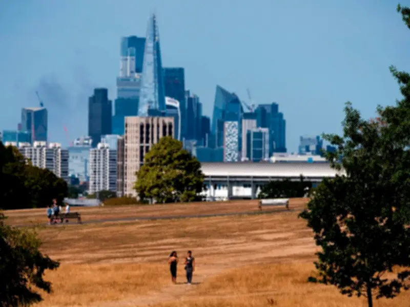
A 'super' El Niño system wreaking havoc on the world's weather and pushing temperatures to extremes across Europe is only strengthening, according to a new forecast. The weather phenomenon, which takes shape over the Pacific Ocean and is powered by the effects of human-caused climate change, has a brutal knock-on effect around the world, sparking alarm among officials. They have urged people to prepare for the potential devastating impact of extreme weather, which is expected to affect global food supplies by triggering "abnormal temperatures".
Forecasters Warn of Intensifying Heat
Forecasters have warned that, as it continues to strengthen over the next two months, El Niño will only intensify the UK's hot weather misery. According to forecasters at Severe Weather Europe, the Super El Niño has continued to "strengthen rapidly" from its perch in the tropical Pacific. From there, its impact on ocean currents has meant that, despite being thousands of miles away, it has raised temperatures in Europe, and will continue to do so well into autumn.
The forecast said: "Super El Niño continues to strengthen rapidly across the tropical Pacific, with new ocean and atmospheric data showing another acceleration in its development. The latest long-range forecasts have raised the projected peak again, pushing the 2026 event deeper into historic territory later this year. Behind this rapid growth is an unusually strong combination of westerly winds and subsurface ocean heat."
Record-Level Wind Anomalies
"Recent data shows record-level westerly wind anomalies across the equatorial Pacific, while a powerful Kelvin Wave continues to spread eastward beneath the surface, providing additional warm water that powers the Super El Niño."
El Niño is, along with La Niña, one of two climate patterns that take shape in the Pacific, and is characterized by warm water shifting across the sea, raising sea temperatures to 1C to 2C above average. The resulting huge pool of warm water alters the planet's atmospheric circulation, causing extreme weather events, searing hot temperatures, severe rain and global droughts.
Political Response in the UK
Politicians have started taking notice of the potential effects of El Niño in the UK, including Chris Hinchliff, the Labour MP for North East Hertfordshire. He wrote a letter to newly-minted Prime Minister Andy Burnham this week urging him to "take urgent action" by chairing the government's Climate and Nature Security Taskforce.
A government spokesperson said: "The Climate and Nature Security Taskforce will ensure that Britain is better prepared for the threats that the climate crisis creates, including from El Niño."
Moisture and Precipitation Forecast
Low pressure caused by El Niño will settle over Europe, where it will bring "warmer-than-normal surface temperatures over much of the continent" while accelerating between August and October. Severe Weather Europe added: "Warmer anomalies are focused on the central, western, and southeastern regions, driven by the westerly and southwesterly flow."
At the same time, however, it comes with a sliver of hope for the parched continent, with that same pressure set to bring "a lot of moisture". The forecast added: "The westerly and southwesterly flow from the Atlantic low-pressure area also brings in a lot of moisture, increasing precipitation potential over much of the continent. This is visible in the precipitation forecast, indicating above-normal precipitation over most of Europe."




