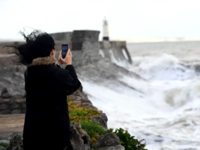
Storm Austen is set to bring gusts of more than 70mph to parts of Wales on Friday, with two yellow weather warnings for wind issued by the Met Office.
The first warning comes into force at midnight on Friday, October 23, and will be in place until 5pm. It covers Blaenau Gwent, Bridgend, Caerphilly, Cardiff, Carmarthenshire, Gwynedd, Isle of Anglesey, Merthyr Tydfil, Monmouthshire, Neath Port Talbot, Newport, Pembrokeshire, Powys, Rhondda Cynon Taf, Swansea, Torfaen, and the Vale of Glamorgan.
The second warning will be in place between 10am and 9pm on Friday, covering Ceredigion, Conwy, Denbighshire, Flintshire, Gwynedd, Isle of Anglesey, Monmouthshire, Powys, and Wrexham.
Timing of the strongest winds
At midnight, gusts in parts of Wales will be around the 30mph mark. By around 4am, winds will have picked up considerably, with gusts of 55mph on the Pembrokeshire coast.
The early hours will see the worst of the windy weather, with St Davids in Pembrokeshire expected to see gusts of more than 70mph at around 5am. Things will have calmed down a bit by 9am in west Wales, but the wind will have picked up in other parts of the country including Carmarthen, Llandovery, Aberystwyth, Caernarfon, Swansea and Cardiff.
Afternoon and evening outlook
Strong winds will continue into the afternoon with highs of 53mph in Cardiff and 54mph in parts of north Wales. The Pembrokeshire coast will still be the windiest spot in Wales with gusts of up to 55mph.
By 4pm things will start to calm down somewhat, but strong winds will remain in most parts, with 47mph gusts in Cardiff and 52mph gusts off the coast of Aberystwyth. At around 8pm winds should have fallen below the 40mph mark in Cardiff and other parts of south east Wales, while in Pembrokeshire the highs of 70mph will have reduced to just over 40mph.
By the end of Friday, winds of more than 30mph will remain in parts. The average wind gust speed in the UK ranges between 17mph and 23mph, so late on Friday evening will still be incredibly windy in most parts even though the worst of the storm will have passed.
Warnings and impact
The Met Office has said that "injuries and danger to life from flying debris are possible" and "could occur from large waves and beach material being thrown onto sea fronts, coastal roads and properties".
Met Office chief forecaster Neil Armstrong said: "We've updated Amber and Yellow severe weather warnings for Storm Austen. This is the first stormy weather in the south of the UK this season and we expect some disruption as it moves through. With trees in leaf, it is likely fallen branches and trees could obstruct roads and railways so take extra care on the Friday morning commute."
An amber warning for wind has been put in place between 1am and 10am on Friday covering Cornwall, Devon, the Isles of Scilly, and Plymouth.
Meanwhile, a second storm - Storm Boelo - will impact Northern Ireland, Scotland and parts of northern England over the weekend.
Met Office deputy chief forecaster Chris Bulmer said: "Storm Boelo will bring strong winds and heavy rain to Northern Ireland, Scotland and parts of northern England over the weekend, impacting the opposite end of the country to Storm Austen. Gusts of 70-80mph in exposed coastal areas and high ground are possible, with 50-60mph gusts more widely. The strong winds will be accompanied by heavy rain, making for an impactful weekend of weather."
Severe weather warnings and forecast detail will continue to develop, so people should keep up to date with the forecast over the next few days.