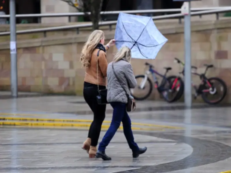
The Met Office has issued an amber "risk to life" warning as Storm Austen is set to bring "damaging winds" to parts of the country, with gusts reaching as high as 80mph.
Storm Austen has been named by the Met Office as the first storm of the season, associated with an area of low pressure forming in the Atlantic which is expected to rapidly deepen as it is invigorated by the jet stream.
It comes as two yellow alerts for rain and wind have also been issued for Friday (October 23), affecting parts of the UK including Scotland and south west England.
Yellow warnings for rain and wind
The yellow rain warning is in effect between 6am on Friday and 3am on Saturday (October 24) impacting the Scottish areas of Central, Tayside and Fife, Grampian, Strathclyde and Lothian Borders. The Met Office warned that Storm Austen will bring "persistent heavy rain" in these areas, leading to a chance of travel disruption and flooding.
Issued by the Met Office, a yellow wind warning will also come into effect at 12am on Friday and remain in place until 2pm the same day, with winds reaching as strong as 70mph in parts of London and south east England, south west England, Wales and West Midlands.
Amber warning for south west England
Then finally, the more severe amber alert will affect four areas in south west England: Cornwall, Devon, Isles of Scilly and Plymouth between 3am on Friday and 10am the same day.
The UK weather agency has warned that the affected areas could see gusts of 80mph, which will be combined with spells of heavy rain.
"A spell of very strong northwesterly winds is likely on Friday morning," the Met Office says. It continues: "There is a good chance that gusts of 60-70 mph will develop widely for a time with perhaps some gusts around 80 mph for exposed headlands.
"Very strong winds will be combined with spells of heavy rain. Remaining windy for the rest of Friday but winds will gradually ease."
Expected impacts and safety advice
The following impacts are expected in the areas affected by the amber warning:
- Longer journey times and cancellations likely, as road, rail, air and ferry services may be affected
- Flying debris is likely and could lead to injuries or danger to life
- Probably some damage to buildings, such as tiles blown from roofs
- Some roads and bridges likely to close
- There is a good chance that power cuts may occur, with the potential to affect other services, such as mobile phone coverage
- Injuries and danger to life are likely from large waves and beach material being thrown onto coastal roads, sea fronts and properties
Advice from the Met Office to those living in the south west during Storm Austen reads: "Driving in these conditions can be dangerous, for yourself and other road users.
"If you must drive, you can do this more safely by taking the following actions; drive slowly to minimise the impact of wind gusts, be aware of high-sided vehicles/caravans on more exposed roads and be cautious when overtaking, and give cyclists, motorcyclists, lorries, and buses more room than usual."
It continues: "Being outside in high winds makes you more vulnerable to injury. Stay indoors as much as possible. If you do go out, try not to walk, or shelter, close to buildings and trees. In advance of high winds, check for loose items outside your home and secure them. Items include: bins, garden furniture, trampolines, tents, sheds, and fences.
"If you are on the coast, stay safe during stormy weather by being aware of large waves. Even from the shore large breaking waves can sweep you off your feet and out to sea. Take care if walking near cliffs; know your route and keep dogs on a lead. In an emergency, call 999 and ask for the Coastguard."
Other advice includes preparing for a potential power cut by gathering torches and batteries, a portable charger and other essential items; and staying up to date with the weather forecast in your area.
Full list of UK areas affected by Met Office amber wind warning
South West England: Cornwall, Devon, Isles of Scilly, Plymouth
Full list of UK areas affected by Met Office yellow wind warning
London & South East England: Brighton and Hove, East Sussex, Hampshire, Isle of Wight, Kent, Portsmouth, Southampton, West Sussex
South West England: Bath and North East Somerset, Bournemouth Christchurch and Poole, Bristol, Cornwall, Devon, Dorset, Gloucestershire, Isles of Scilly, North Somerset, Plymouth, Somerset, South Gloucestershire, Torbay, Wiltshire
Wales: Blaenau Gwent, Bridgend, Caerphilly, Cardiff, Carmarthenshire, Ceredigion, Merthyr Tydfil, Monmouthshire, Neath Port Talbot, Newport, Pembrokeshire, Powys, Rhondda Cynon Taf, Swansea, Torfaen, Vale of Glamorgan
West Midlands: Herefordshire
Full list of UK areas affected by Met Office yellow rain warning
Central, Tayside & Fife: Angus, Clackmannanshire, Dundee, Falkirk, Fife, Perth and Kinross, Stirling
Grampian: Aberdeen, Aberdeenshire, Moray
Strathclyde: East Ayrshire, East Dunbartonshire, East Renfrewshire, Glasgow, North Ayrshire, North Lanarkshire, Renfrewshire, South Ayrshire, South Lanarkshire, West Dunbartonshire
SW Scotland, Lothian Borders: Dumfries and Galloway, East Lothian, Edinburgh, Midlothian Council, Scottish Borders, West Lothian