
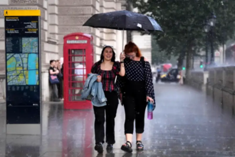
Londoners are being warned to brace for icy weather and freezing temperatures as El Niño threatens to disrupt weather patterns once again this year. The phenomenon, which brought the capital its hottest summer on record with wildfires and drought, could now bring a wet and stormy winter, with experts warning of a possible polar vortex as the strongest El Niño event in 1,000 years develops over the Pacific Ocean.
Government Advice and 'Godzilla' El Niño
Government bodies and experts are urging Britons to stockpile food and water in case of an emergency. Defence Secretary Wes Streeting has advised that all homes should have cash, a supply of bottled water, and some tinned goods at their disposal should disaster strike, as reported by the Sun.
El Niño is a naturally occurring climate cycle that takes place when sea temperatures become warmer than average, impacting air circulation patterns. This year's El Niño has been dubbed “Godzilla” because of its exceptional impact and scale.
Met Office Forecast for London
As early as this week, rainy, gusty and stormy weather could blow over London and the UK. The Met Office has warned of an increased likelihood of spells of rain and strong winds compared to average during parts of the season in London, but it is “not possible to attribute specific weather events to El Niño”.
Meteorologists have also warned of a polar vortex, a large band of counter-clockwise winds that circle above the Earth's North and South poles. The stratospheric polar vortex is not a weather system that moves into the UK, but changes in its strength could influence weather patterns lower down in the atmosphere, according to forecasters.
Forecaster Insights and Coastal Impacts
A spokesperson for the Met Office said: “A stronger-than-normal polar vortex can favour a stronger jet stream, which may increase the likelihood of mild, wet and windy conditions. Conversely, a weaker polar vortex can sometimes increase the chances of colder weather affecting the UK.”
Dan Holley, Met Office deputy chief forecaster, told the Independent that a “deep area of low pressure could pass close to the UK” this week. “This may bring some wet and windy weather for some, which coupled with high spring tides, could bring impacts to some coastal areas in the west,” he said.
Forecasters cautioned that there is no current indication of how the polar vortex could impact London and it is just one factor meteorologists will consider when assessing weather patterns.




