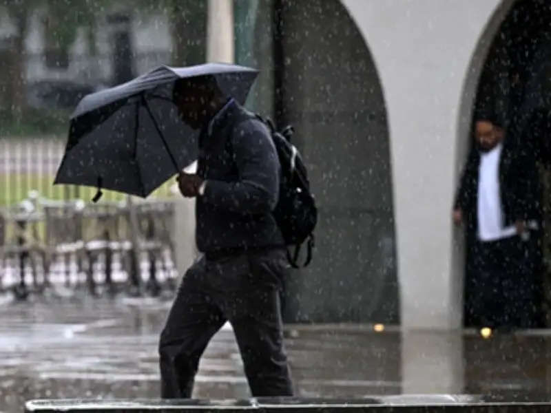
The Met Office has issued a weather warning as Storm Austen approaches the UK, bringing heavy rainfall and strong winds to numerous areas across the country. The storm is forecast to bring gusts of 50-60mph to southern areas at the end of the week, with 70mph possible along exposed coasts.
Warning Details and Affected Areas
The warning currently runs from midnight to midday on Friday, October 23, and covers most of south-west England, along with southern Wales. Parts of the south coast as far east as Brighton are also affected.
Met Office deputy chief forecaster Tom Crabtree said: "While the exact track and position of Storm Austen is still being determined, what's clear is that we have an impactful period of weather on the way and the potential for disruption in places, which has resulted in the system being named.
"Peak gusts in excess of 70mph are possible on the most exposed coastal areas, while 50-60mph are likely more widely within the warning area."
Weather warnings are under constant review and could be updated as confidence increases, so it's important to stay up-to-date with the forecast in the coming days.
Forecast and El Niño Concerns
Forecasters said: "Rain continues to push across Scotland, turning heavy at times. Showers elsewhere with squally rain moving eastwards across England and Wales, locally heavy and thundery near southern and southwestern coasts. Windy for many, with a risk of coastal gales."
The development comes as experts warn chilly weather could freeze Brits this winter as an El Niño weather effect is set to hit the country hard and soon. The weather phenomenon is strengthening rapidly, with it expected to hit the worst in December. The World Meteorological Organisation (WMO) said there are many potential implications for the UK's winter weather with the arrival of El Niño.
El Niño, a natural climate event that occurs every two to seven years in the central and eastern equatorial Pacific Ocean, has a significant impact on global weather patterns. The group have been monitoring the sea temperatures and say an El Niño is officially declared when sea-surface temperatures in this specific region of the tropical Pacific consistently exceed the norm by at least 0.5C, which it has been.
Full List of Areas Affected
London & South East England: Brighton and Hove, East Sussex, Hampshire, Isle of Wight, Portsmouth, Southampton, West Sussex.
South West England: Bath and North East Somerset, Bournemouth, Christchurch, and Poole, Bristol, Cornwall, Devon, Dorset, Gloucestershire, Isles of Scilly, North Somerset, Plymouth, Somerset, South Gloucestershire, Torbay, Wiltshire.
Wales: Blaenau Gwent, Bridgend, Caerphilly, Cardiff, Carmarthenshire, Ceredigion, Merthyr Tydfil, Monmouthshire, Neath Port Talbot, Newport, Pembrokeshire, Powys, Rhondda Cynon Taf, Swansea, Torfaen, Vale of Glamorgan.
West Midlands: Herefordshire.
The warning covers 38 areas in total, with the Met Office advising residents to stay updated as the situation develops.