The Met Office has issued its verdict on how El Nino will affect the UK, describing the weather phenomenon as an "unprecedented event" expected to reach its peak in the winter. This could cause wetter and stormier conditions across Europe over the coming months.
What is El Nino and how does it affect the UK?
El Nino is declared when sea temperatures in the tropical eastern Pacific rise 0.5C above the long-term average. While it is felt strongly in the tropical eastern Pacific with warmer than average weather, it also has lasting impacts across the globe.
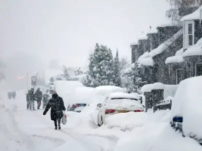
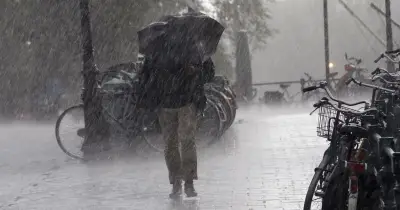
The Met Office said: "The El Niño is now growing towards its peak in winter, and the impacts will affect not only the tropics but also the mid latitudes and so southern Africa and north-east Australia are expected to be at heightened risk of drought. Closer to the UK, we expect the influence of El Niño to start to increase the chances of wetter, stormier conditions for NW Europe, including the UK, in the coming autumn and early winter."
Forecasters warn of strongest El Nino on record
Forecasters are warning the 2026 "super El Nino" could be the strongest on record. The phenomenon is causing extreme weather globally, bringing unprecedented heat, droughts, and altered storm patterns. This also means milder weather is expected going forward.
Dr Nick Dunstone said El Nino will not only affect autumn and winter, but it could lead to a change in weather conditions in 2027. He said: "During large El Niño events significantly more heat is released from the ocean to the atmosphere leading to an increase in global average temperature, particularly in the calendar year following the winter peak of the El Niño. Hence, 2027 is very likely to replace 2024 as the warmest year on record and be another year to temporarily exceed +1.5 C above the preindustrial period."