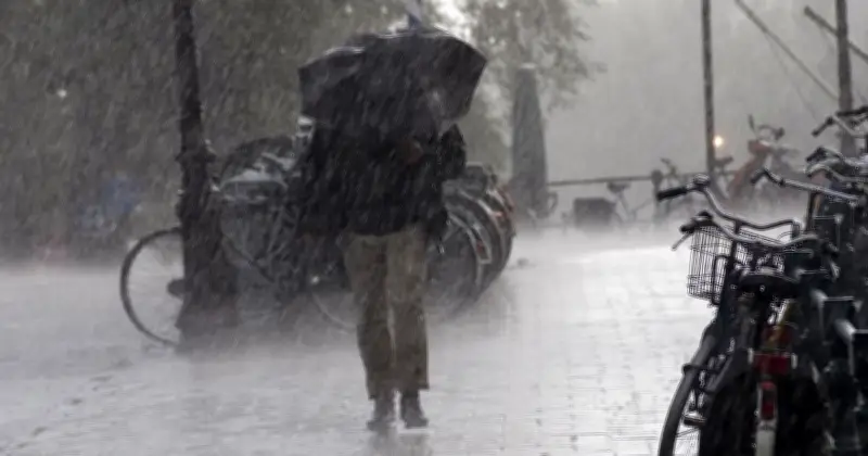
The Met Office has issued a new update responding to weather claims predicting snow, storms, freezing temperatures and a powerful polar vortex across the UK this autumn. In a statement published on Monday, the forecaster said the current forecast does not support the suggestion that the UK is about to be "smashed" by widespread snow associated with changes to the polar vortex.
El Niño Reaches Record Strength
In an update released on September 22, the Met Office said El Niño had become the strongest event in the observational record, with sea-surface temperatures in the central equatorial Pacific exceeding levels seen during previous events. Professor Adam Scaife, head of long-range prediction at the Met Office, previously said: "We have been signalling for months that the developing El Niño will be an unprecedented event."
He added: "The fact that it has already exceeded previous records – with several weeks to go before it peaks later this year – shows the enormity of this El Niño. Scientists are still assessing whether the impacts will be in proportion to their magnitude, but we are already seeing expected effects worldwide."
Wetter and Stormier Conditions Possible
The meteorological service said El Niño can influence weather patterns across Europe. As the event approaches its winter peak, it added that there is an increased likelihood of wetter and stormier conditions across North-west Europe, including the UK, during autumn and early winter. Later in the season, the phenomenon is associated with an increased risk of cold snaps.
However, the Met Office emphasised that El Niño does not determine individual weather events. For October, the latest outlook points towards a changeable start to the month, with spells of rain, showers and stronger winds affecting parts of the UK. Temperatures are expected to fluctuate, with some chilly conditions possible at times, but the forecast does not currently point to a prolonged or widespread freeze.
Changeable Weather Ahead
The Met Office said Wednesday is "expected to bring rain across much of England and parts of Wales, while northern and north-western areas see sunny spells and showers. Temperatures will generally be close to, or slightly below, average during the day." It added: "Although the conditions will turn cooler and showers could be heavy in the far north and northwest, this is very different from a confirmed outbreak of disruptive or extensive snow. There is also nothing in the forecast that indicates changes in the polar vortex."
The wettest conditions are most likely in the northwest, while the southeast could receive relatively little rain during the period from Saturday 10 to Monday 12 October. Strong winds are also possible, especially in the north, where there is a chance of gales. Looking further ahead, occasional rain or showers are most likely in western and north-western areas, interspersed with drier periods. More unsettled conditions may develop towards the end of October or early November, but confidence in specific patterns remains low.
The overall message is one of changeable autumn weather: spells of rain, brisk winds, showers and some chilly intervals, but also drier periods. Dramatic nationwide snow and prolonged freezing conditions are not the central themes of the current forecast.