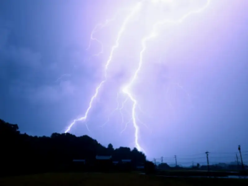
The Met Office has urged people across Merseyside to consider preparing an emergency kit as thunderstorms, heavy rain and potential flooding threaten parts of the region.
A yellow weather warning for thunderstorms is in place until 10pm today, with Merseyside among 73 areas across England and Wales covered by the alert.
Slow-moving heavy and thundery rain could bring up to 75mm of rainfall in some places over a 12-hour period, with a risk of lightning strikes, hail, flooding and power cuts.

Merseyside among areas covered by warning
The thunderstorm warning covers Merseyside, along with a number of neighbouring areas including Greater Manchester, Cheshire West and Chester, Halton, Warrington and Lancashire.
People living in areas prone to flash flooding are being advised to consider preparing a flood plan and an emergency flood kit.
An emergency kit could include insurance documents and a list of important contact numbers, as well as a torch and spare batteries. A first aid kit and any prescription medicines should also be included, along with warm waterproof clothing and blankets.
Bottled water and snacks are also recommended, while households may wish to keep a battery or wind-up radio available. The Met Office also advises people to make sure they have any supplies needed to care for a baby or pet.
Warning over flooding and power cuts
People are also being urged to secure moveable objects and temporary structures before strong winds arrive. This could include bins, garden furniture, trampolines, tents, gazebos, sheds and fences.
The Met Office also says people should prepare for the possibility of power cuts by gathering torches, spare batteries, a mobile phone power pack and any other essential items they may need.
The warning covers a total of 73 areas across England and Wales, including Derby, Leicester, Nottingham, Oxfordshire, Cumbria, Greater Manchester, Merseyside, Bristol, Cardiff, Swansea, Shropshire, Staffordshire, West Midlands Conurbation, Yorkshire and many others.
The Met Office said slow-moving heavy and thundery rain is likely today, while unsettled conditions could continue into Friday and across the weekend.
Its outlook for the weekend states: "Low pressure systems will continue to bring rain and heavy showers across many areas through this period. Temperatures trending nearer to average, but feeling warm in the sunnier moments."
Temperatures are expected to peak at 27C today, before reaching 26C on Friday and Saturday. A high of 25C is forecast for Sunday.