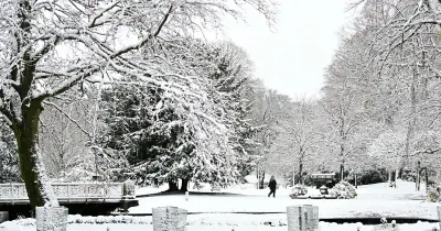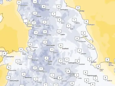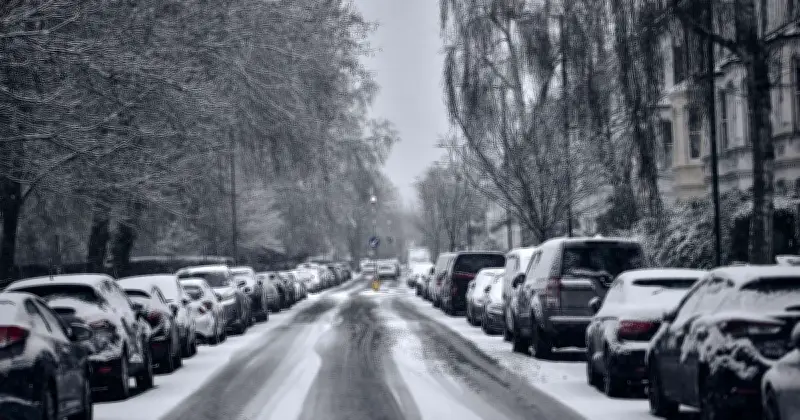
Households staying indoors during snowy weather are being urged to get up and walk around every hour, according to guidance from the Met Office. The advice comes as a yellow weather warning for snow is in place for 12 hours from midnight to midday on Tuesday, with up to 15cm possible in 23 UK areas including Manchester, Leeds, Sheffield, Newcastle and Stoke.
Yellow Warning for Snow
The Met Office issued the yellow weather warning for snow, stating: "A band of rain is expected to head northwards across the UK through Monday night and Tuesday morning. As it encounters colder air across the highlighted region, it is likely to turn to snow for a time, mainly affecting locations at 100 m altitude or higher."
It added: "Any snow falling below this level will more likely be temporary and quickly melt. Where snow does accumulate, depths of 1-5 cm are likely; some locations above 300-400 m could see 5-15 cm."
The warning also noted possible travel disruption on higher level routes, particularly with a strong easterly wind that could cause localised drifting, and some accretion of ice onto infrastructure such as power lines. Snow is expected to turn back to rain from the south and through Tuesday morning.
Advice for Staying Active Indoors
In its guidance on staying warm in cold weather, the Met Office urges people staying inside to do one thing every hour: get up and walk around rather than remain stationary.
It says: "With many of us having to spend more time at home it can make it harder to keep active. It’s important to continue to do what you can to stay active as this can help with both your physical and mental health. Try to keep moving when you are indoors, try not to sit still for more than an hour or so. Break up your time spent being inactive by walking around your home or standing up from your chair when you are on the phone."
Weekend Forecast
Looking ahead to the weekend, the Met Office's long range forecast from Friday November 20 indicates more snow could be on the way for parts of the UK. It said: "A changeable pattern is likely during this period with Atlantic frontal systems spreading across the UK. This means spells of rain and perhaps strong winds will move over the UK at times, with cooler, drier interludes between systems."
It added: "Rainfall will probably be most frequent in parts of the south and west and some snow is likely in the north at times. Temperatures are expected to be near normal overall, mildest in the south and coldest in the north."