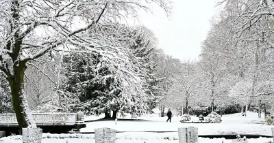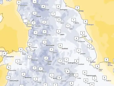
The Met Office has issued a snow warning for some North East areas, but forecasters say heavy rain will be the "main story" for many on Tuesday, November 17. Places in County Durham and Northumberland are expected to see snow in the early hours, with a yellow warning in place.
Most of the region, however, will experience heavy downpours throughout the day. The warning follows reports on the locations likely to see snow and the exact time to expect it.
Snow expected on higher ground
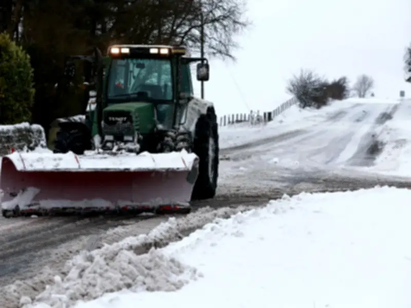
Met Office Chief Forecaster Dan Suri said: "A band of rain will move northwards across the UK during Monday night and Tuesday morning and, as it encounters colder air, it will turn to snow for a time. The greatest chance of settling snow will be over ground above 200 metres, with 1-5cm possible in places and potentially 5-15cm above 300-400 metres. Combined with strong easterly winds, this could bring some travel disruption to higher-level routes."
"Through Tuesday morning the snow will increasingly turn back to rain, with some minor surface-water impacts also possible. Away from higher ground, and so for many people, rain rather than snow will be the main story, although it will continue to feel cold in the north. Temperatures will be closer to average further south, before more settled conditions gradually develop here late this week."
Cold-health alert in place
The UK Health Security Agency has issued a yellow cold-health alert for the North East, North West, Yorkshire and the Humber, which remains in force until Thursday morning. Tuesday and Wednesday are expected to stay unsettled, with rain affecting central and northern parts of the UK, while the south sees heavy and blustery showers, with the potential for hail and thunderstorms.
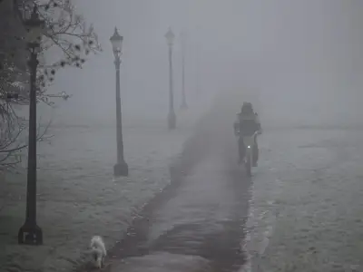
Fog is also possible in Northern Ireland on Wednesday morning and across parts of England and Wales on Thursday morning. Towards the end of the week, drier but colder conditions will gradually extend southwards, with overnight frosts becoming more widespread.
Travel disruption possible
The Met Office adds: "Friday night could be the coldest night of the week. There remains considerable uncertainty over the weekend, with the potential for rain to return from the west." Issuing the snow alert for Tuesday, the Met Office warns that roads and railways could be affected.
It added: "Snowy, wintry weather can cause delays and make driving conditions dangerous. Keep yourself and others safe by planning your route, giving yourself extra time for your journey. Check for road closures or delays to public transport and amend plans if necessary. If driving, make sure you have some essentials in your car in the event of any delays (e.g., warm clothing, food, water, a blanket, a torch, ice scraper/de-icer, a warning triangle, high visibility vest and an in-car phone charger)."